Aldo Aragon
aragonable.com/CapeCod
Towns On Cape Cod:
Outer Cape: Provincetown**, Truro, Wellfleet, Eastham
Lower Cape: Orleans, Chatham, Brewster, Harwich
Mid-Cape: Barnstable, Yarmouth, Dennis
Upper Cape: Sandwich, Borne, Falmouth, Mashpee
Islands Neighboring Cape Cod: Martha's Vineyard** and Nantucket**
** photos of Provincetown, Martha's Vineyard, and Nantucket are available at .com/Provincetown, .com/MarthasVineyard, and .com/Nantucket, respectively
"CCNS" refers to the federal lands of Cape Cod National Seashore
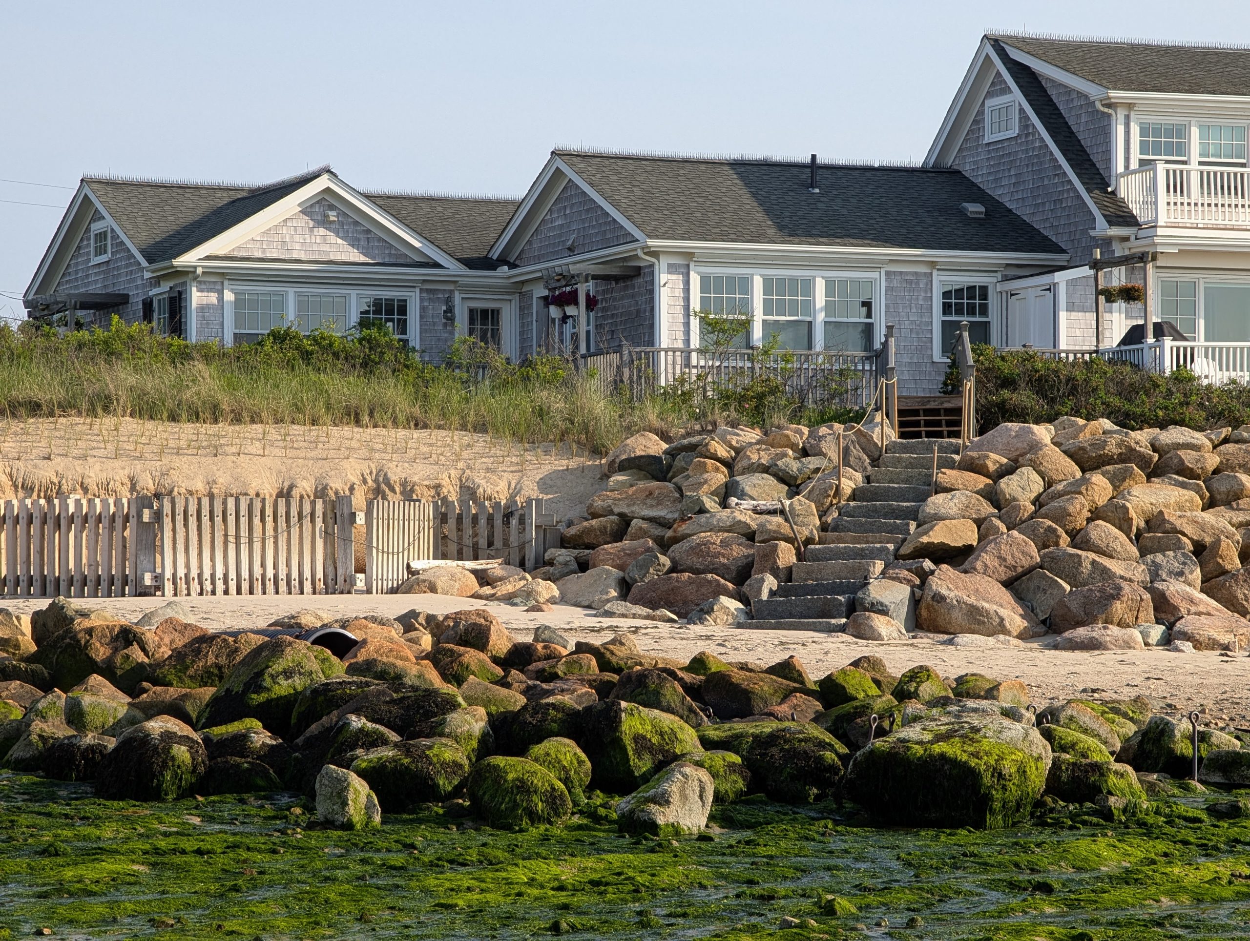
CCNS (Truro, MA sections)
The town of Truro, MA is the second-to-last municipality on Cape Cod, just prior to reaching the peninsula's end at Provincetown. , MA. See more at
aragonable.com/provincetown
"Truro, MA - Marconi Wireless Site"
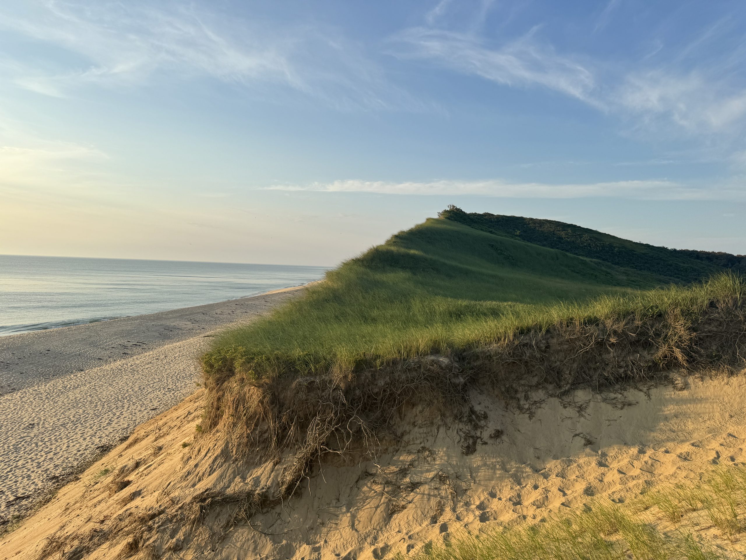
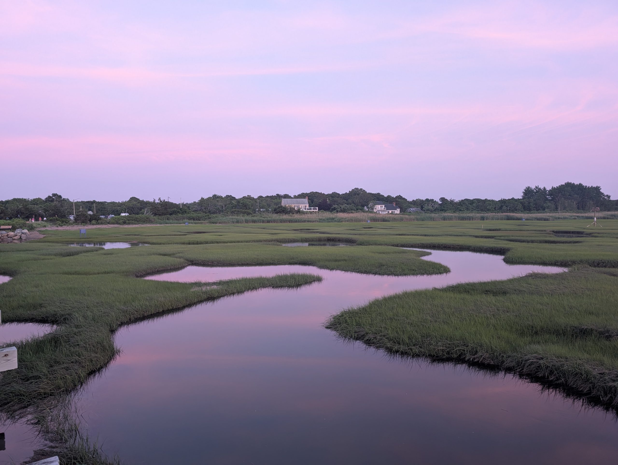
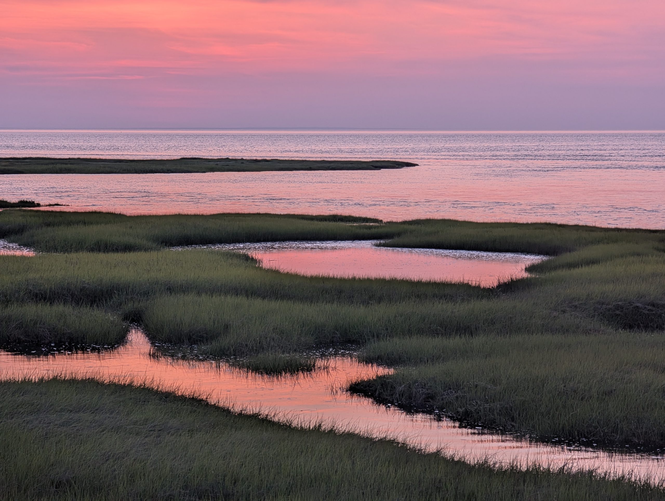
"Truro, MA - Ballston Beach"
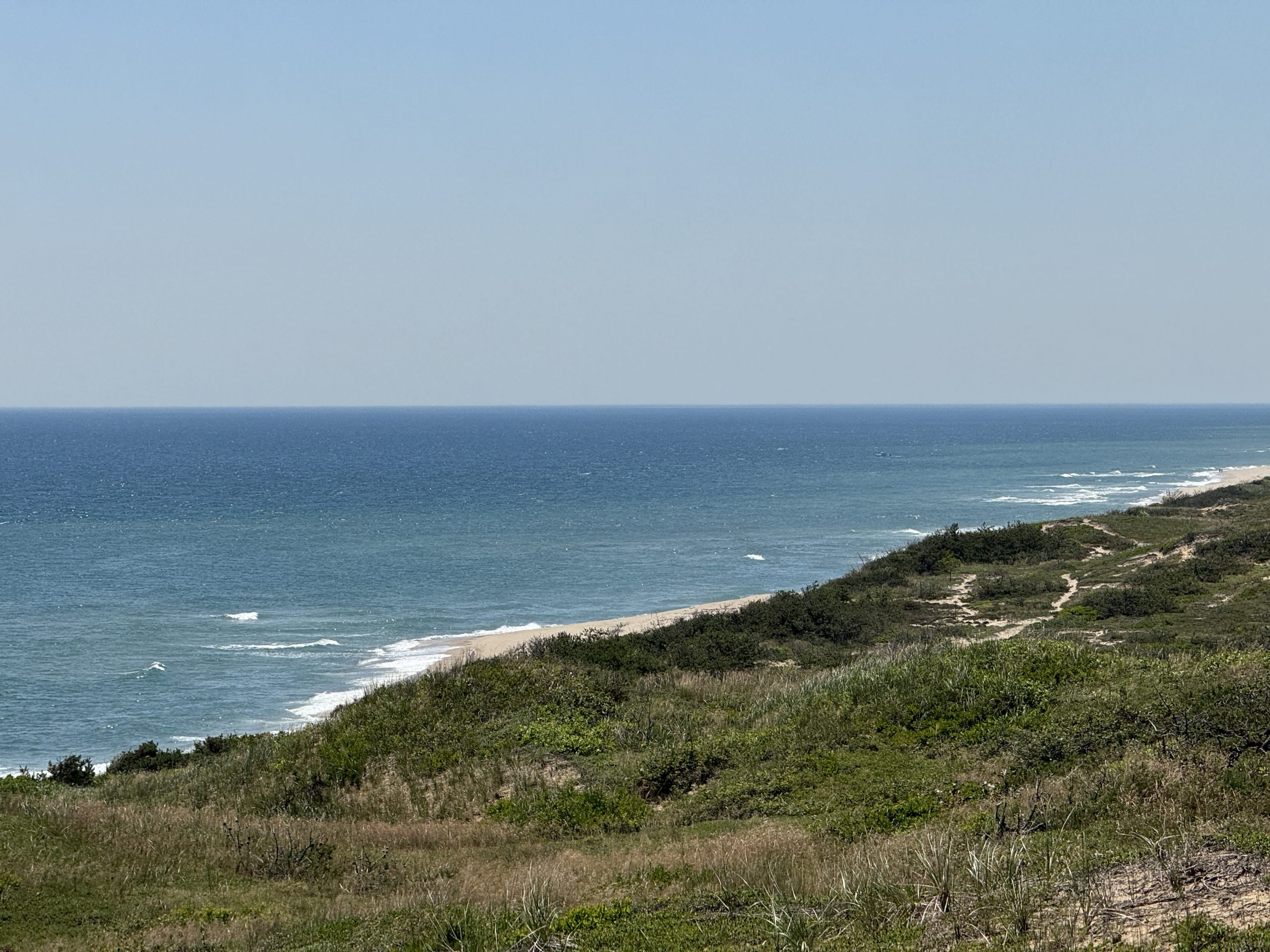
"Truro, MA - Pilgrim Heights Trail"
"Truro, MA - Pamet Area Trails (1)"
"Truro, MA - Pamet Area Trails (2)"
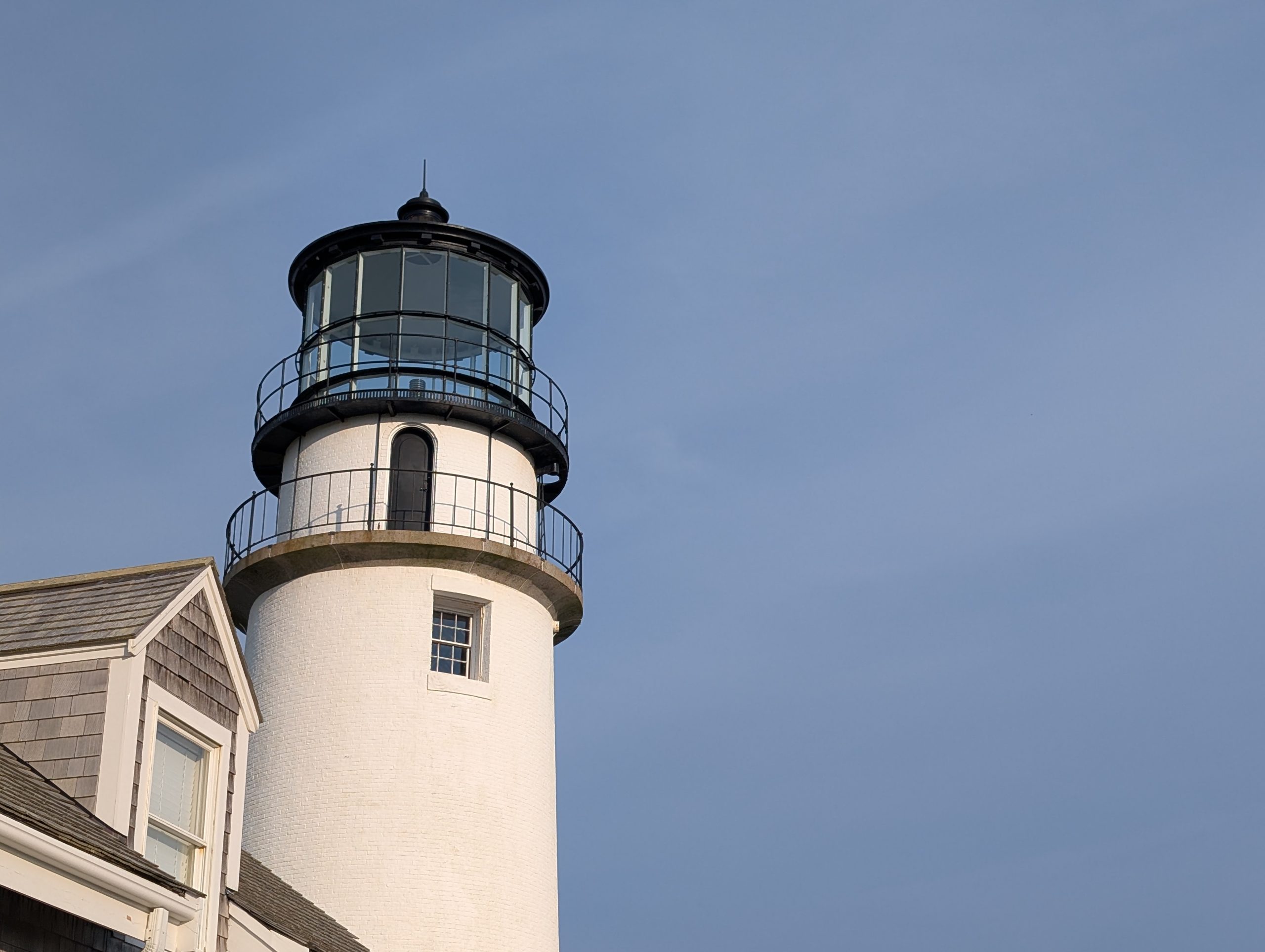
"Truro, MA - Highland Lighthouse"
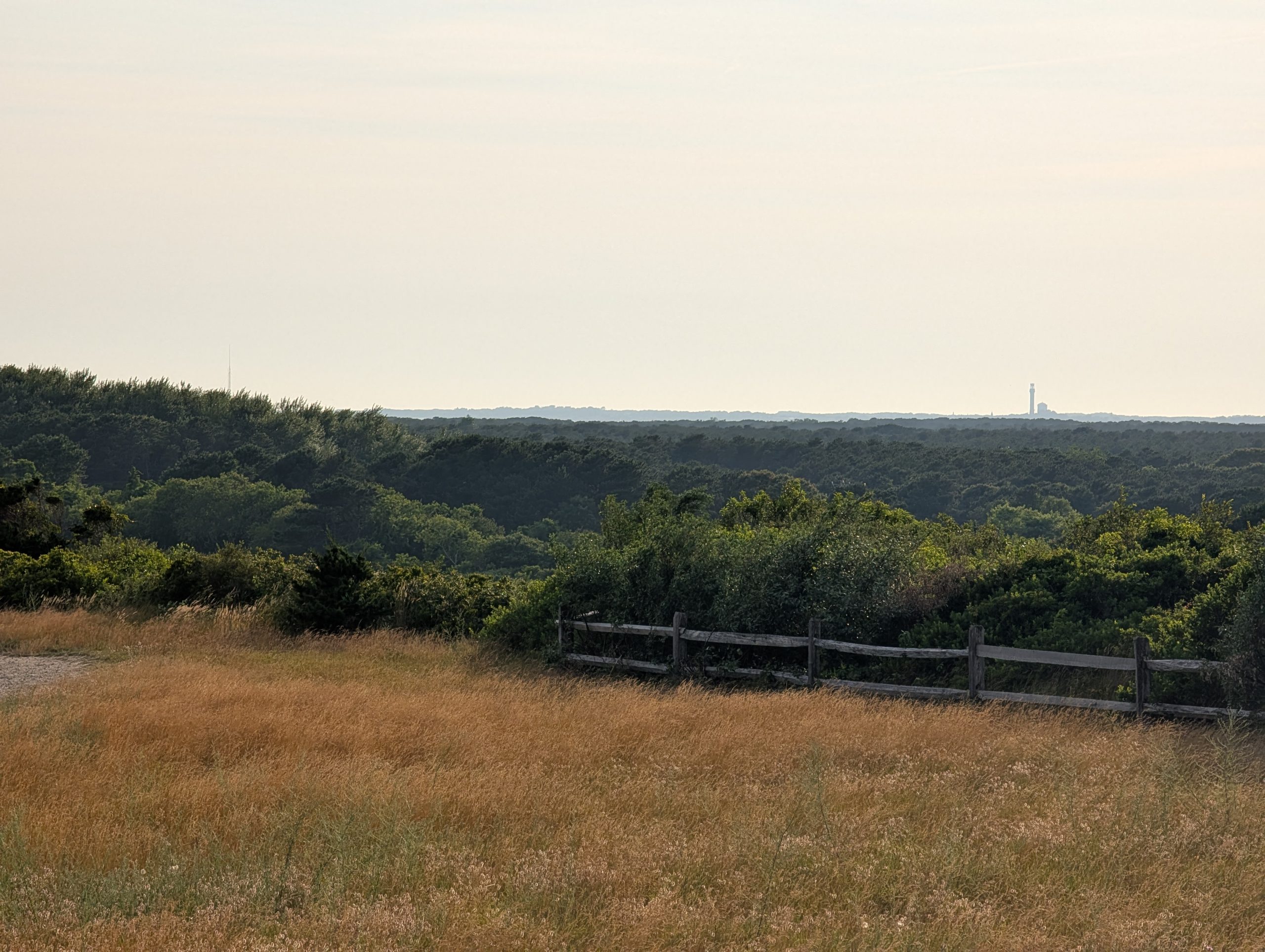
"Truro, MA - Highlands View of Pilgrim's Monument"
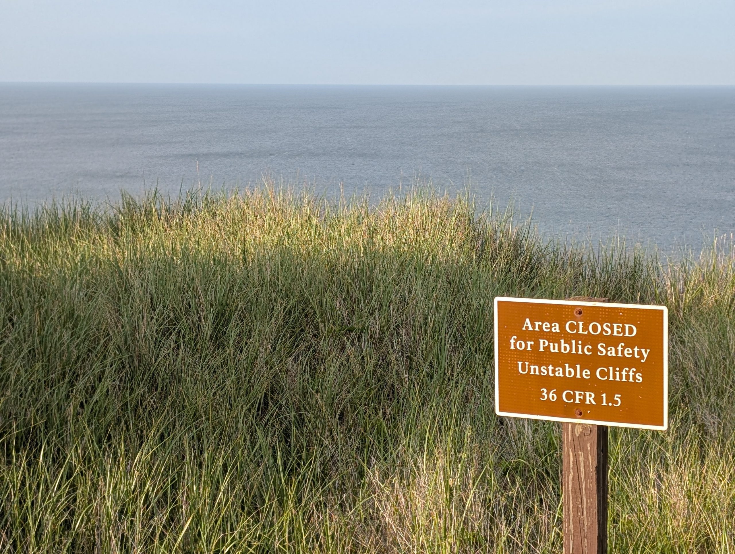
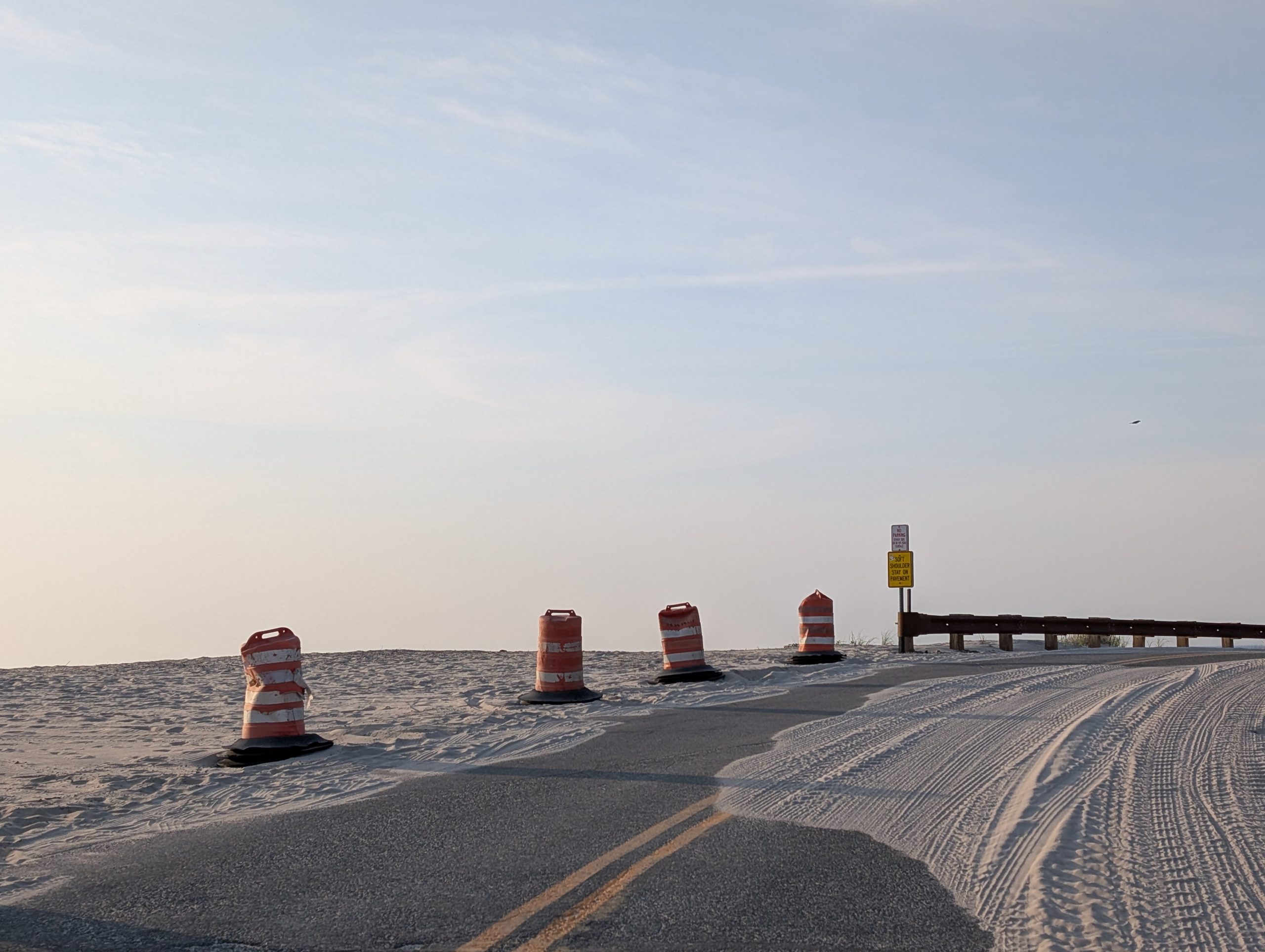
"Truro, MA - Unstable Cliffs"
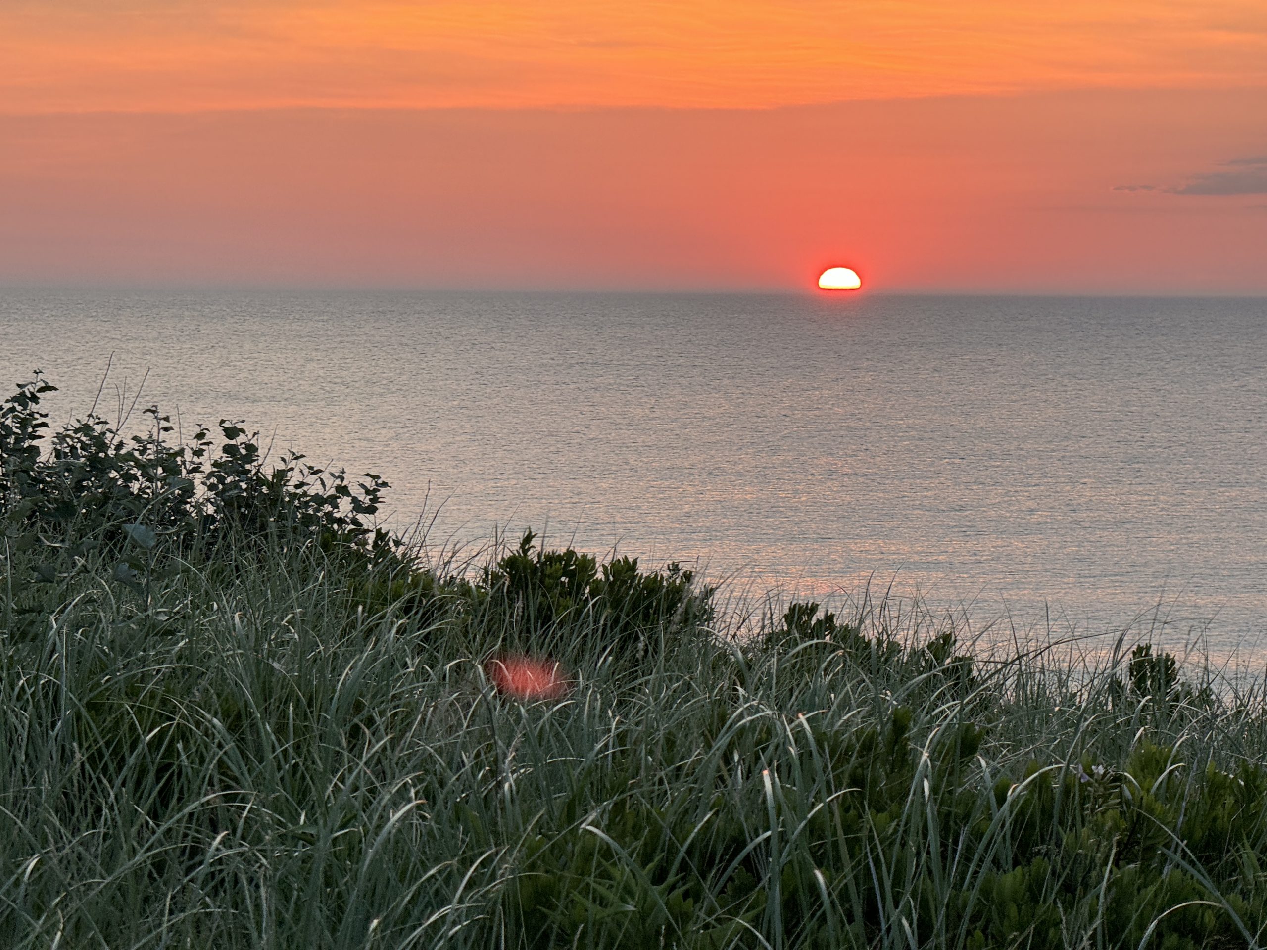
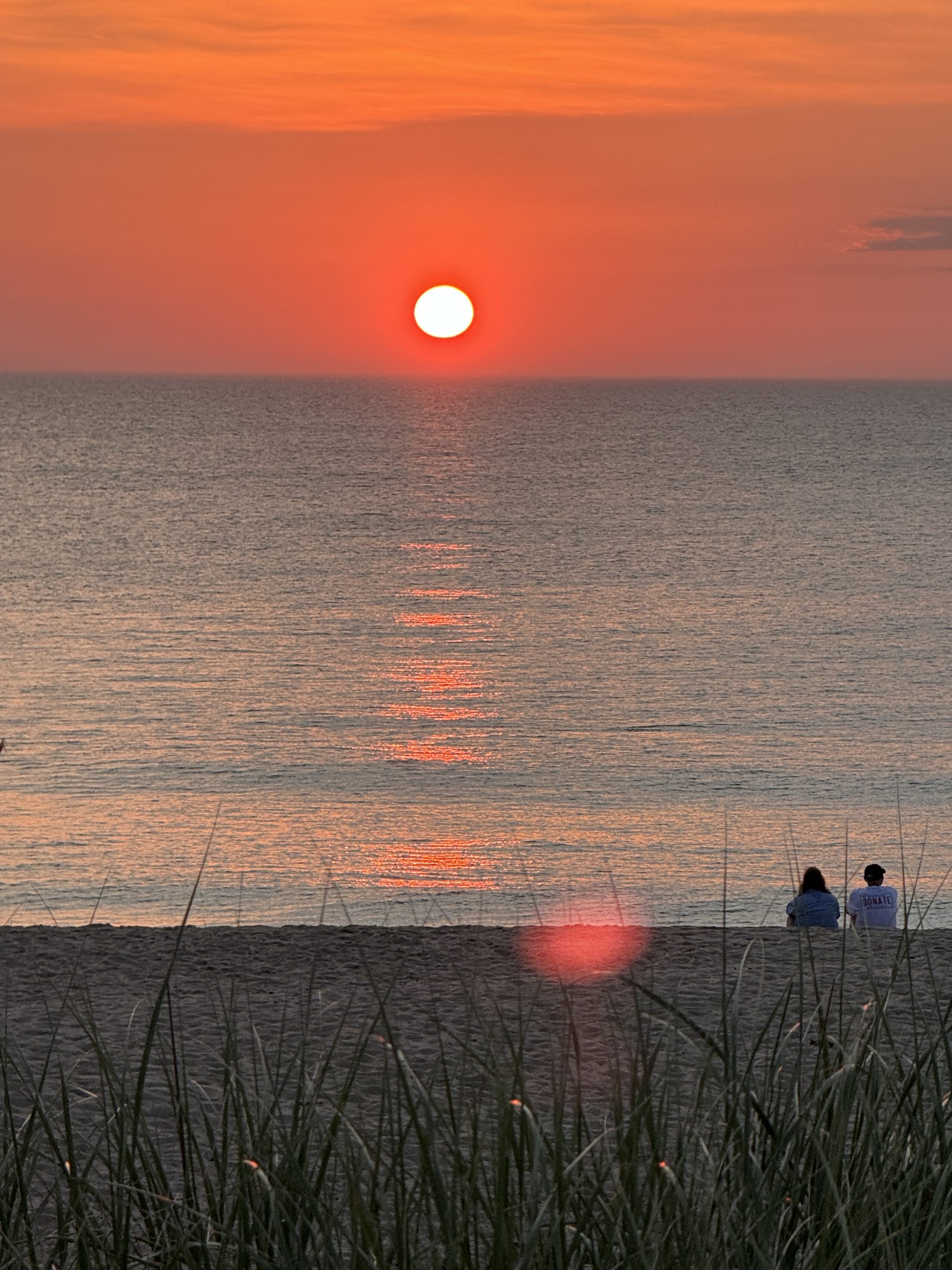
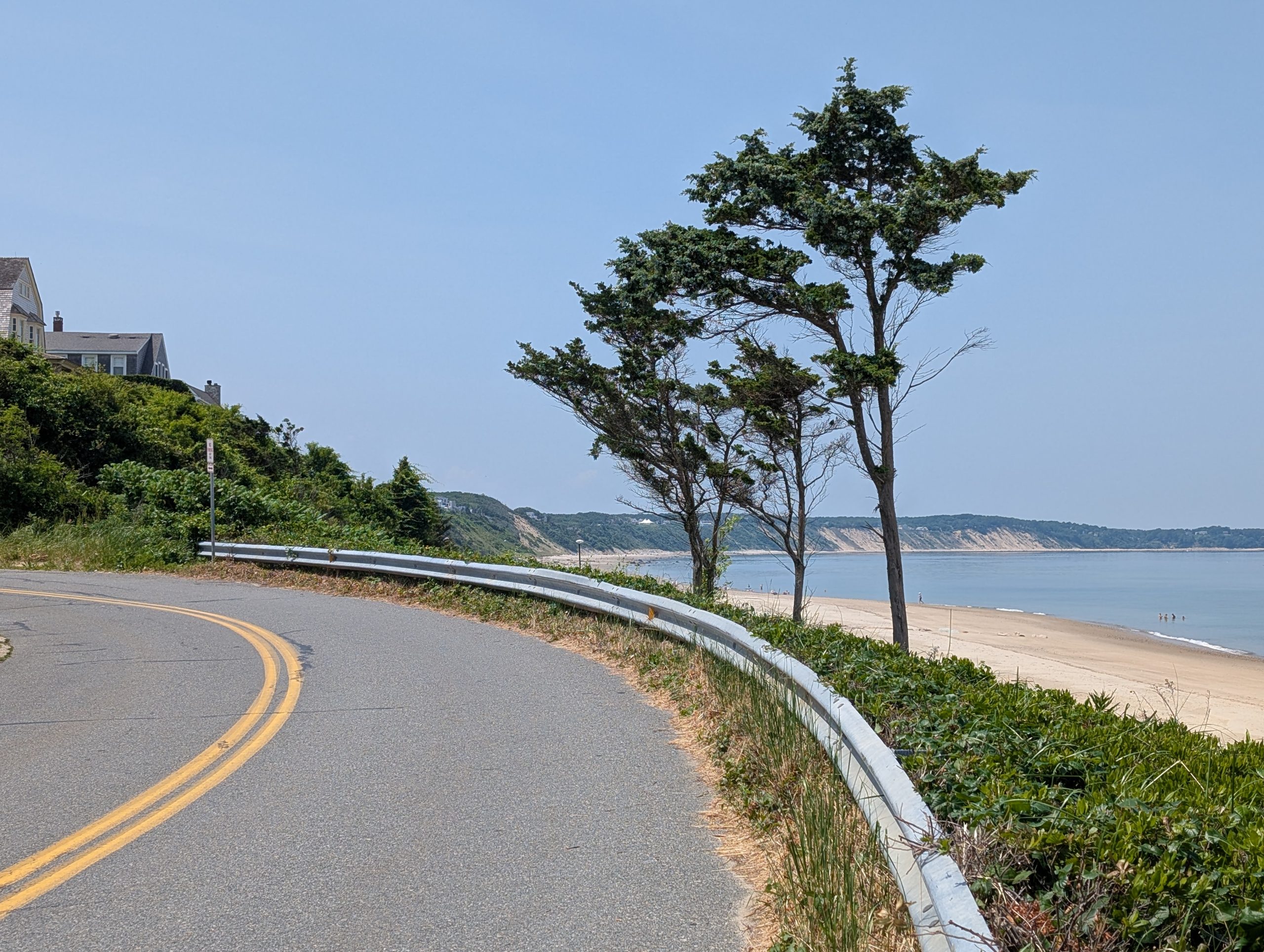
"Truro, MA - Ballston Beach Sunrise"
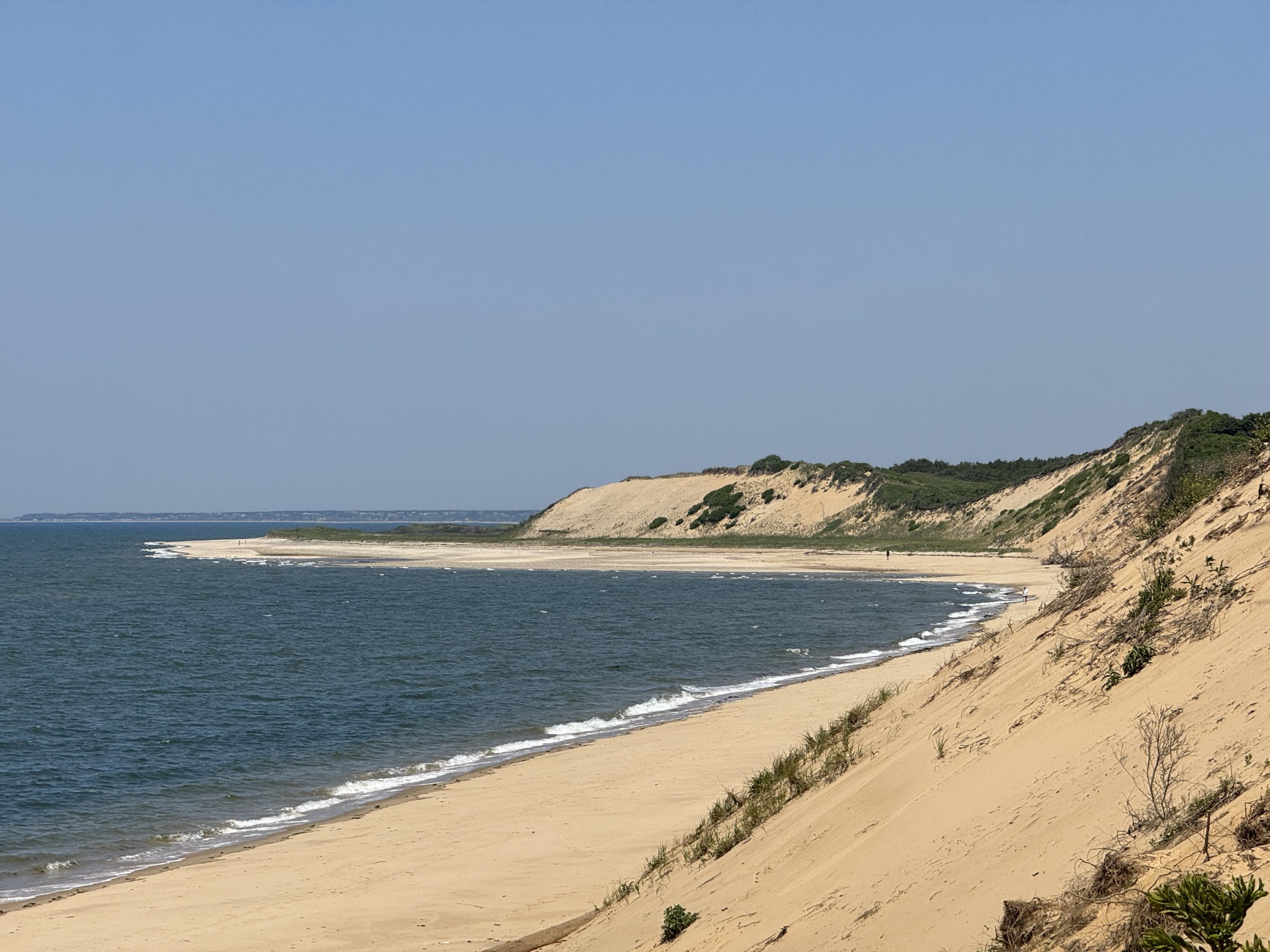
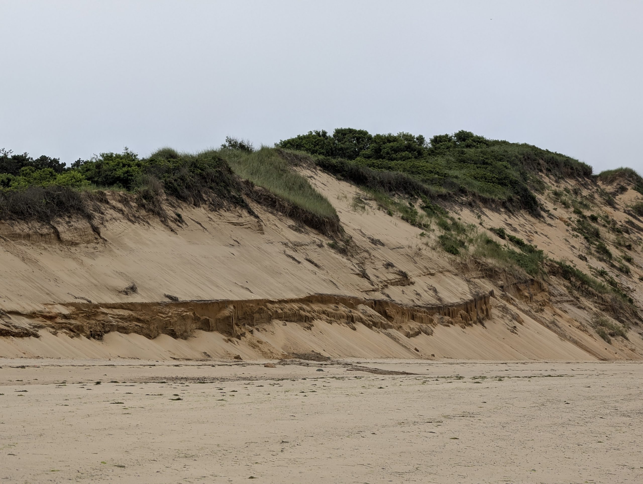
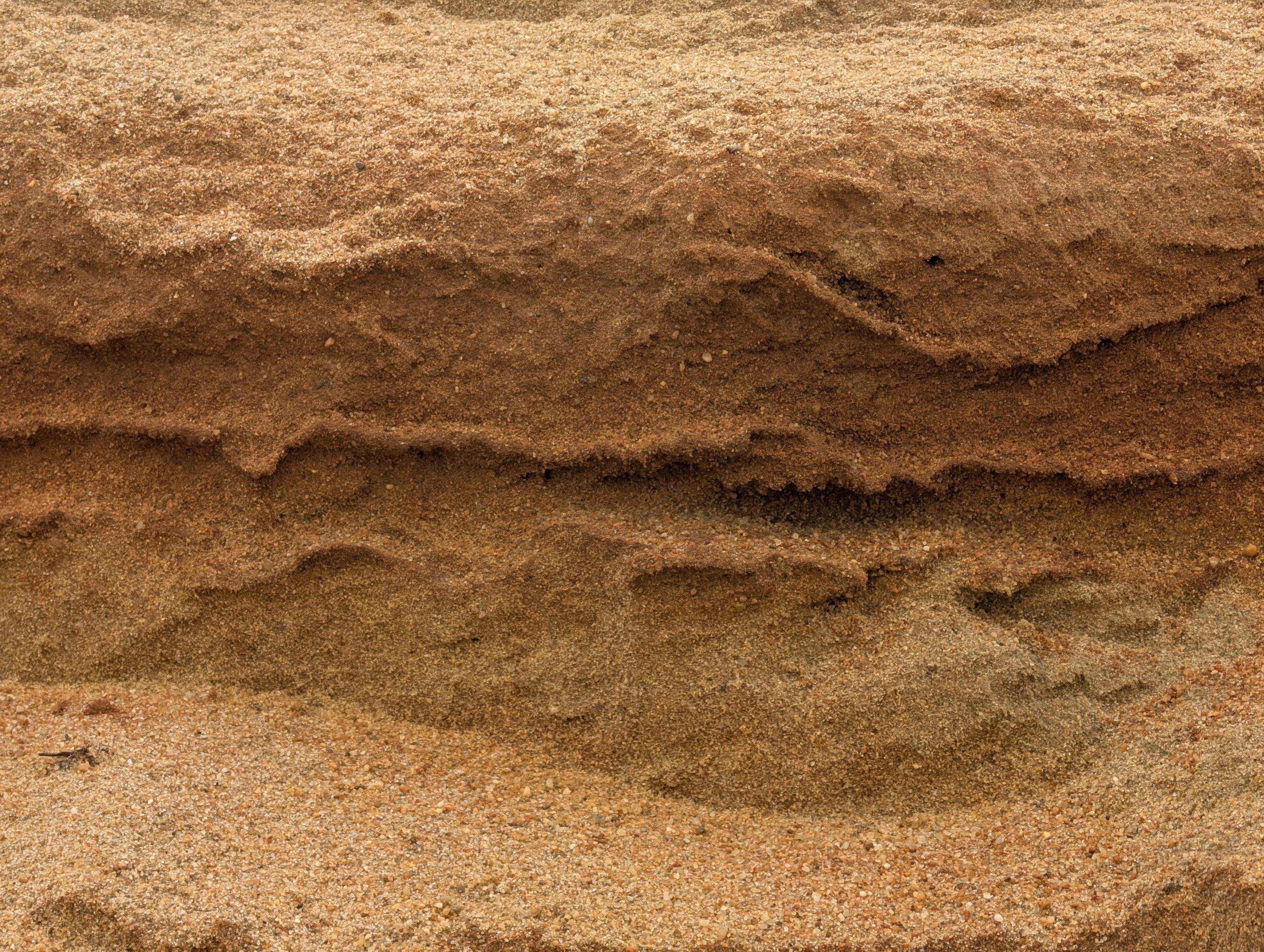
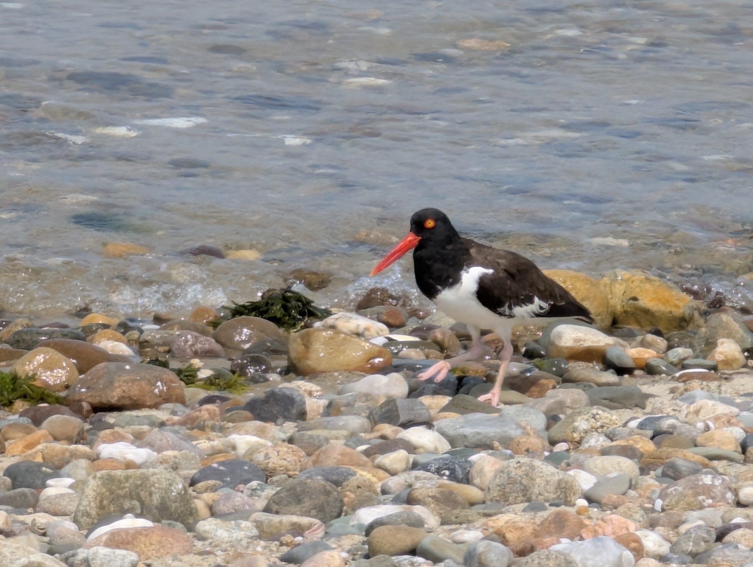
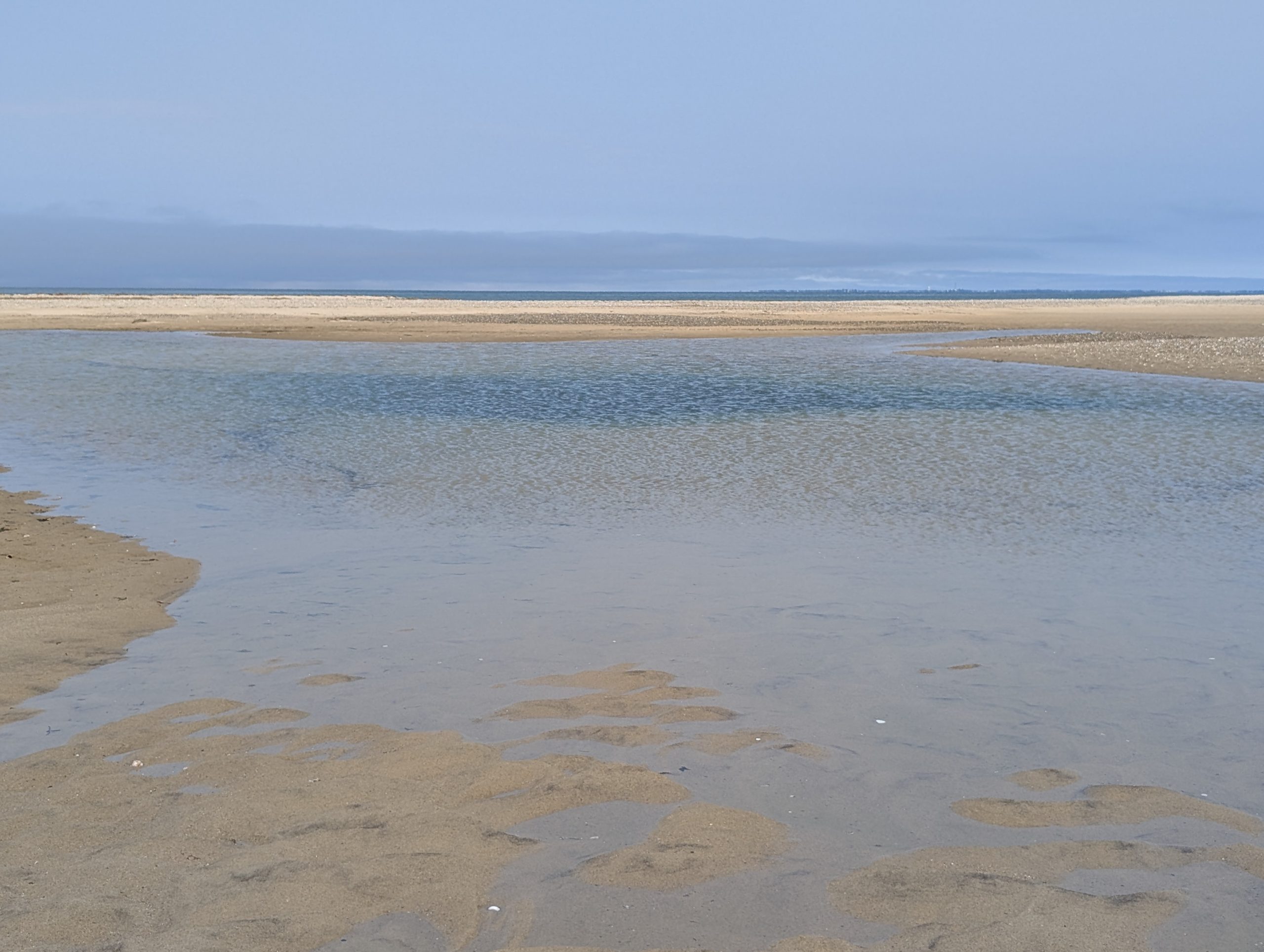
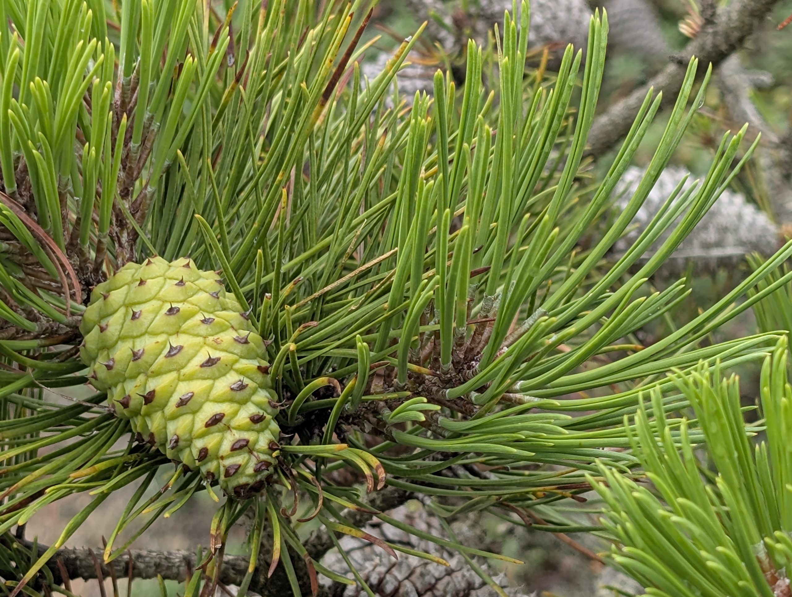
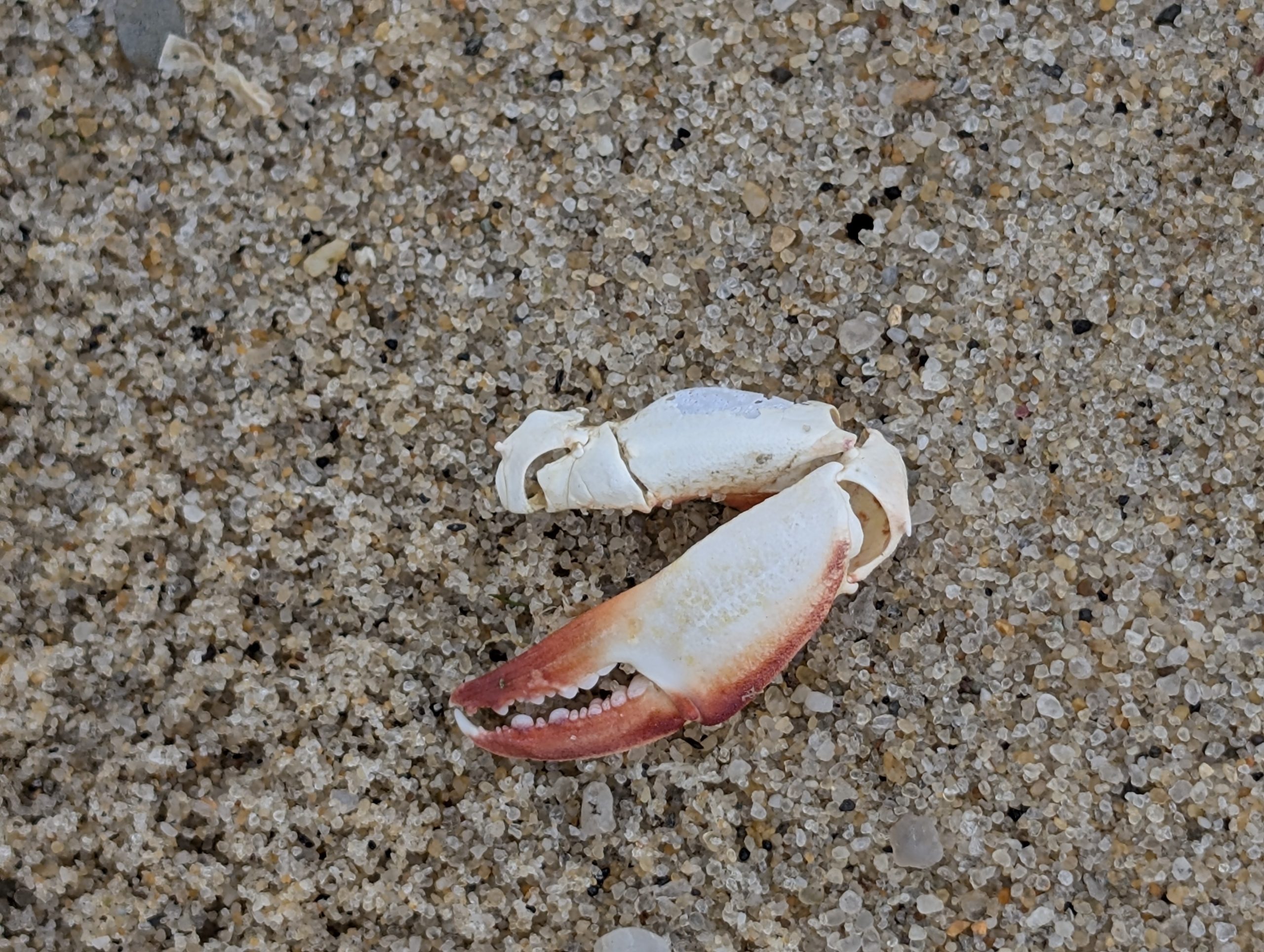
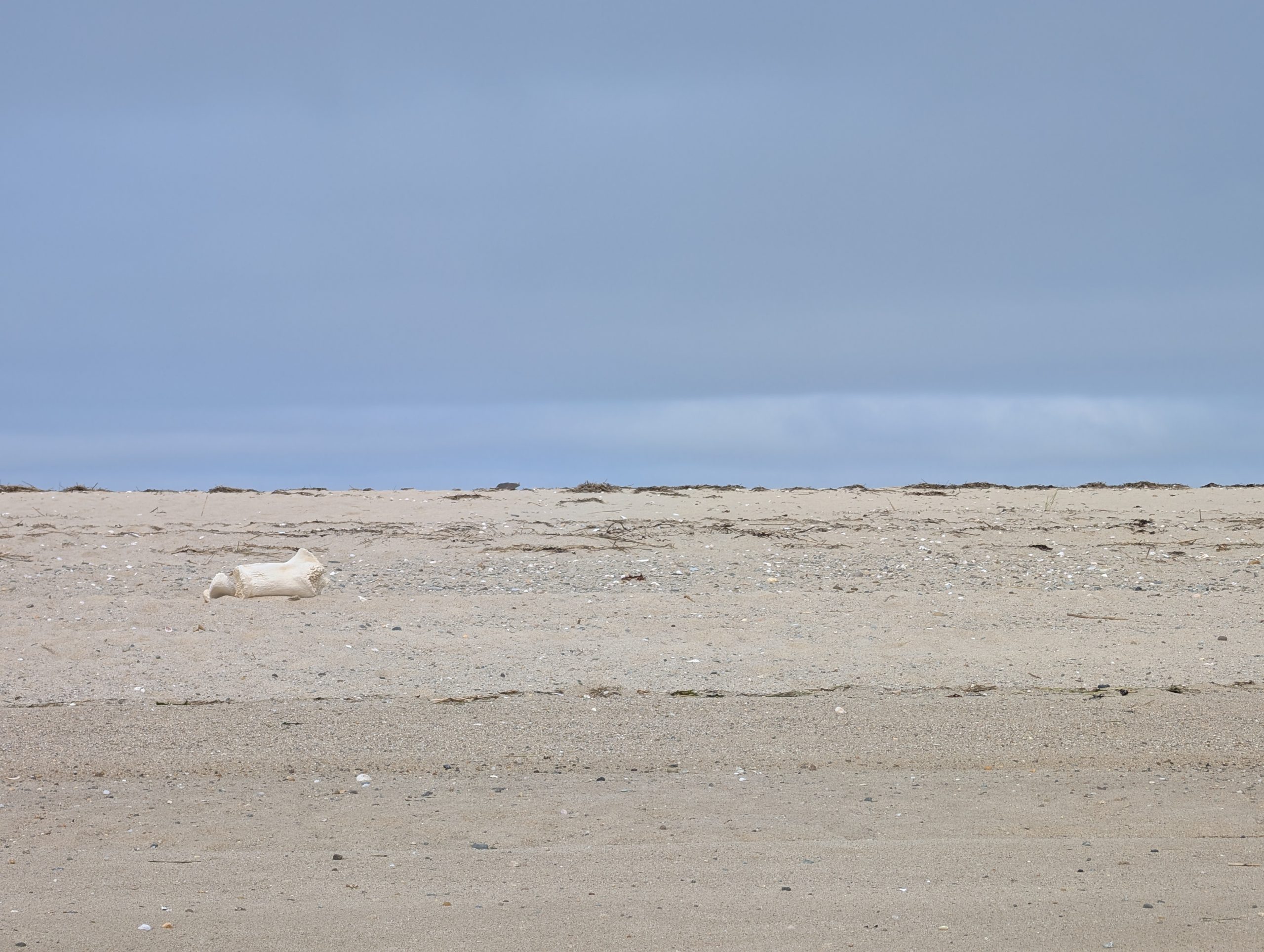
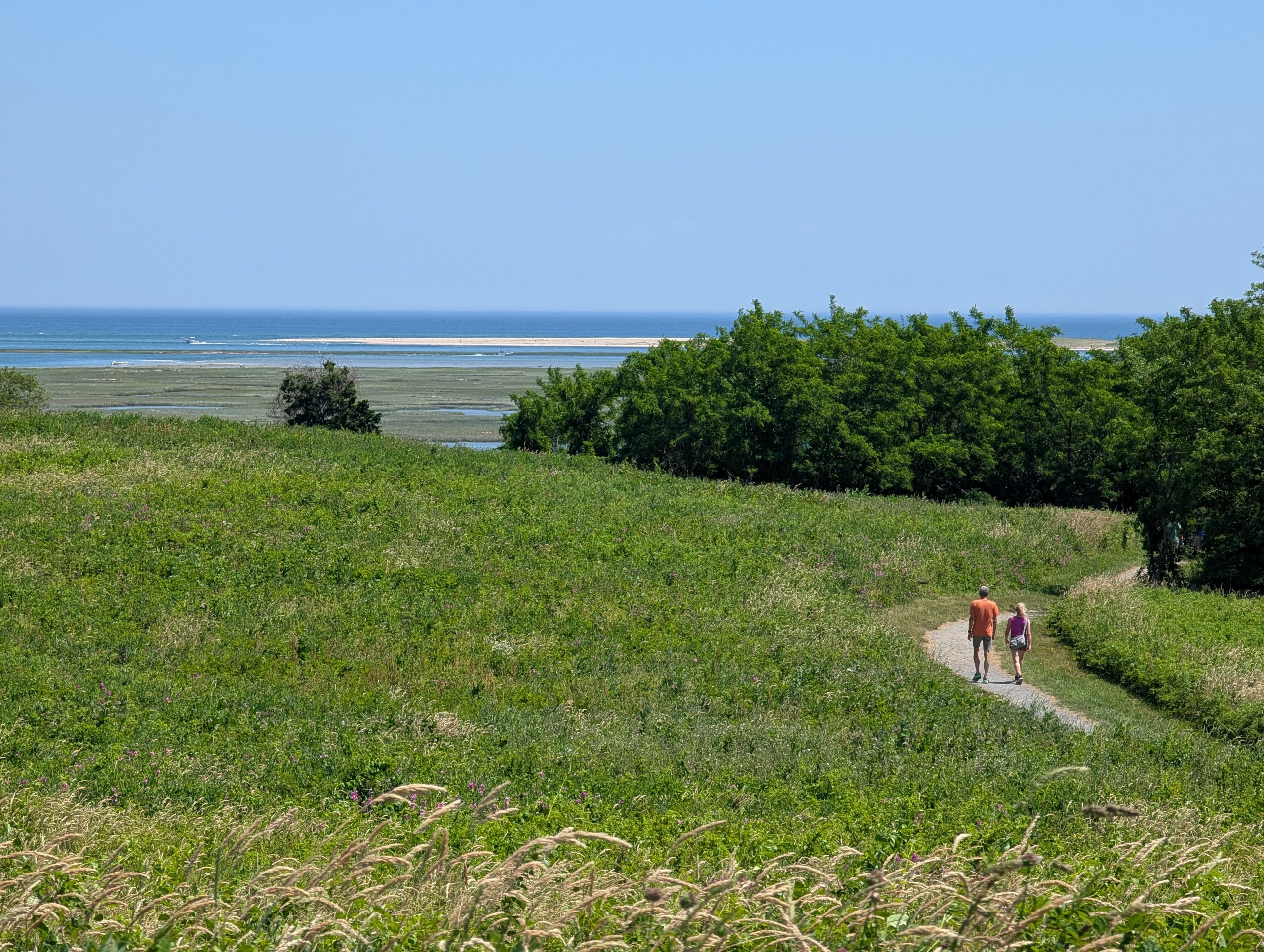
Great Island Trail (Portion of CCNS in Wellfleet, MA)
"Wellfleet, MA - Great Island Trail"
"Erosion (1)"
"Erosion (2)"
"Oystercatcher"
"Jeremy Point"
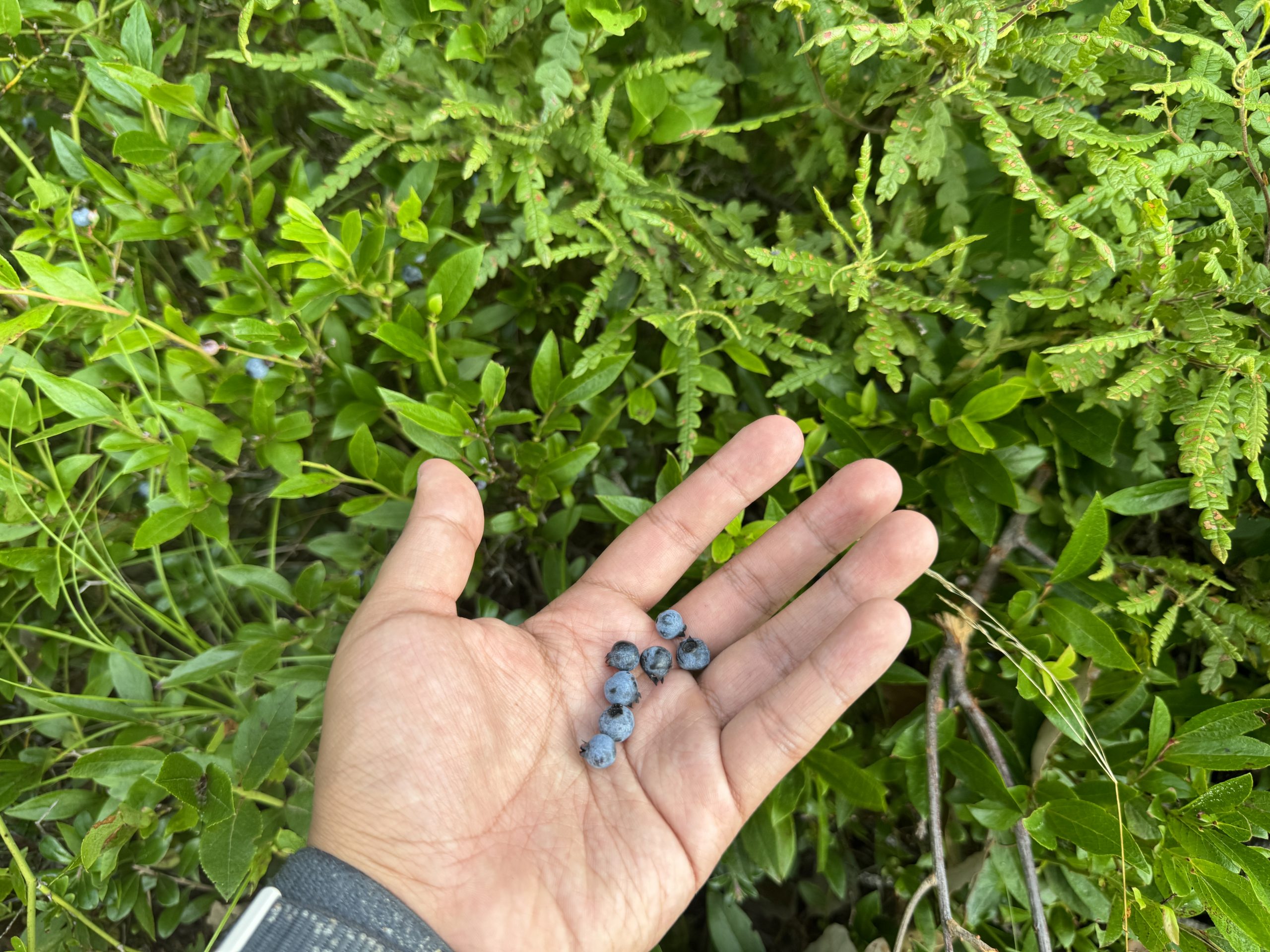
"Flora and Fauna (1)"
"Flora and Fauna (2)"
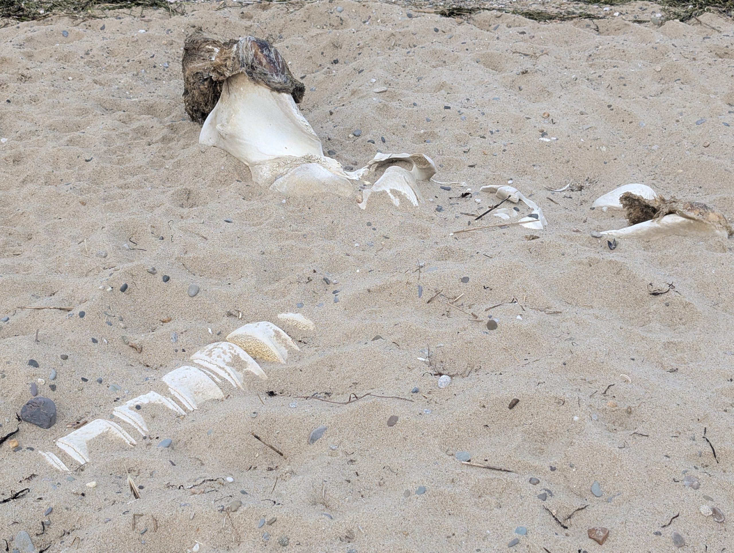
"Whale Bone, Jeremy Point (1)
"Whale Bone, Jeremy Point (2)"
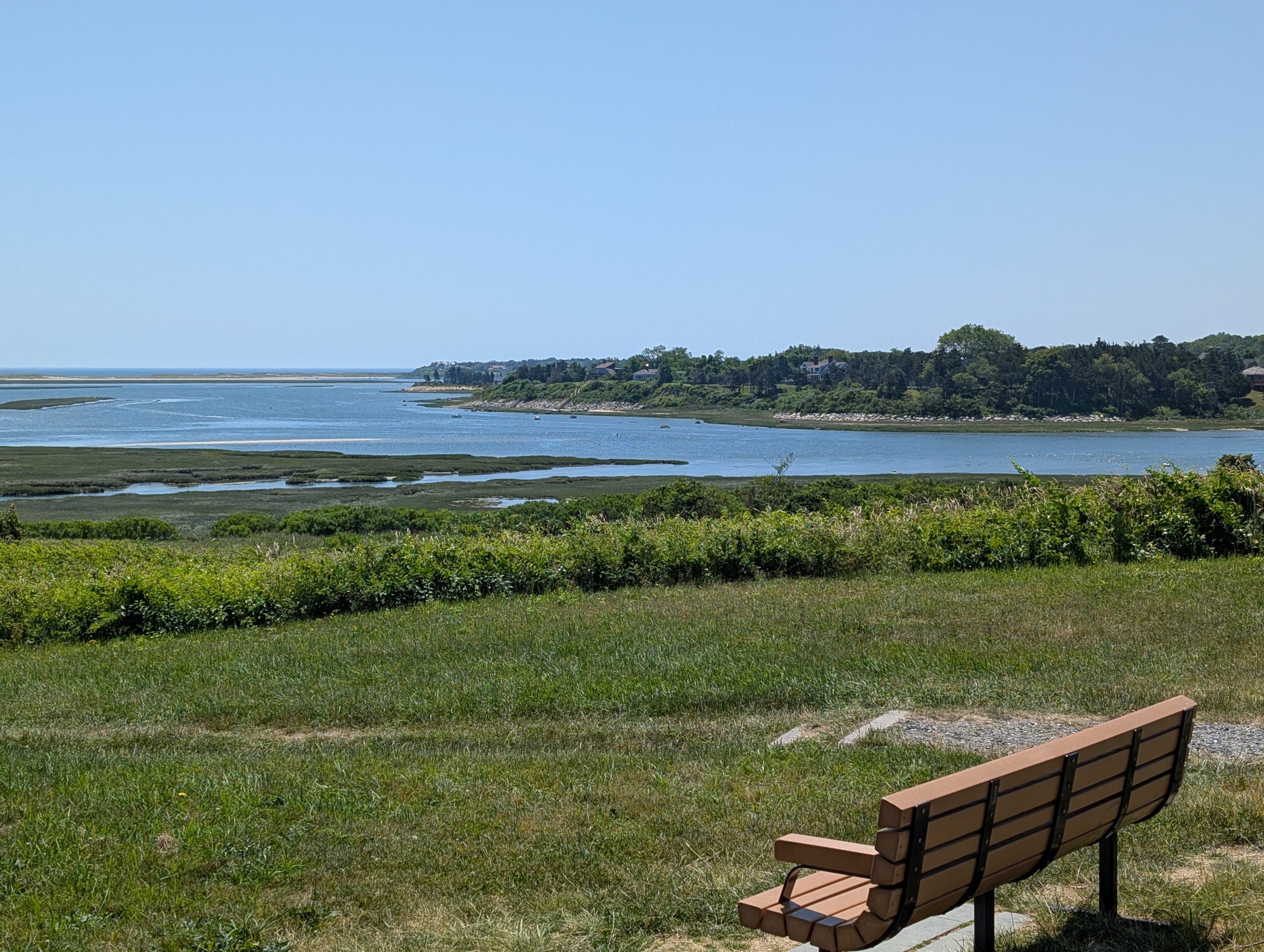
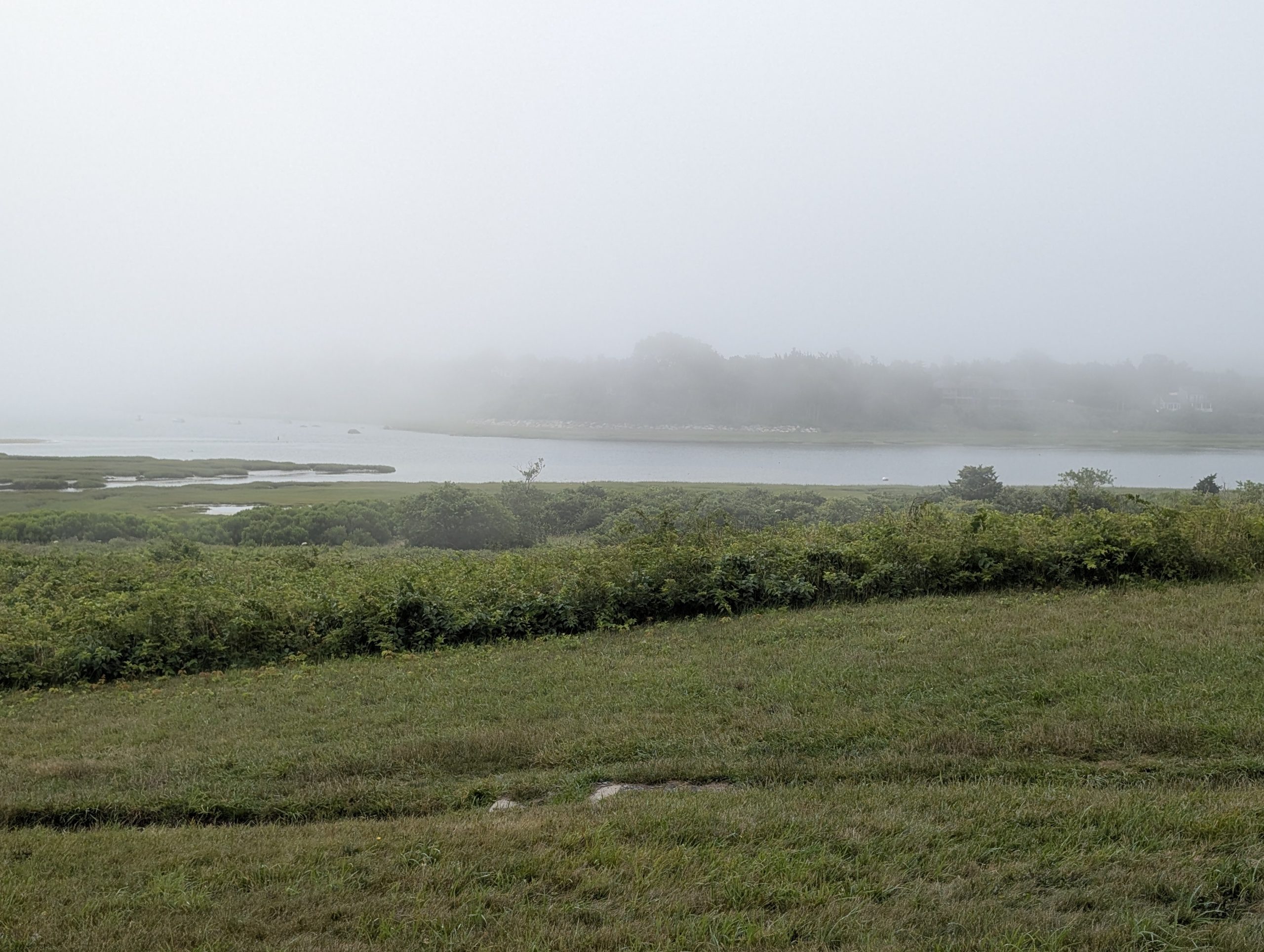
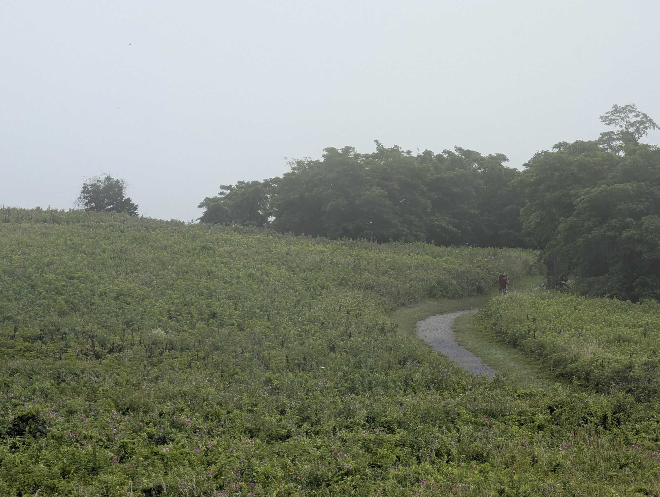
Fort Hill Trail, CCNS, Eastham, MA, Outer Cape
"Fort Hill Trail, No Fog"
"Fort Hill Trail, Fog"
"Fort Hill Trail, No Fog"
"Fort Hill Trail, Fog"
Other Cape Cod Bay-facing portions of the Outer Cape
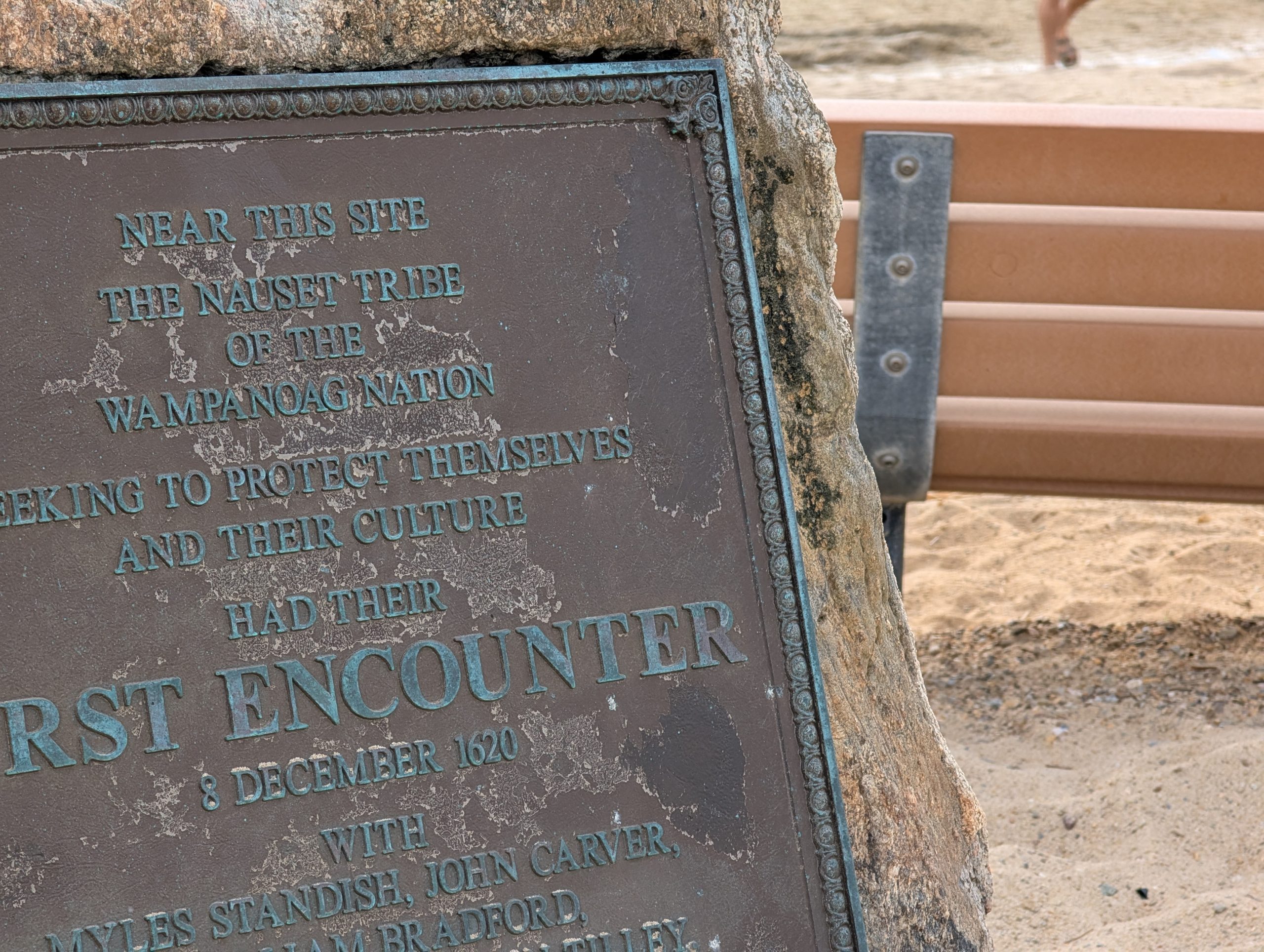
"Eastham, MA - First Encounter Beach"
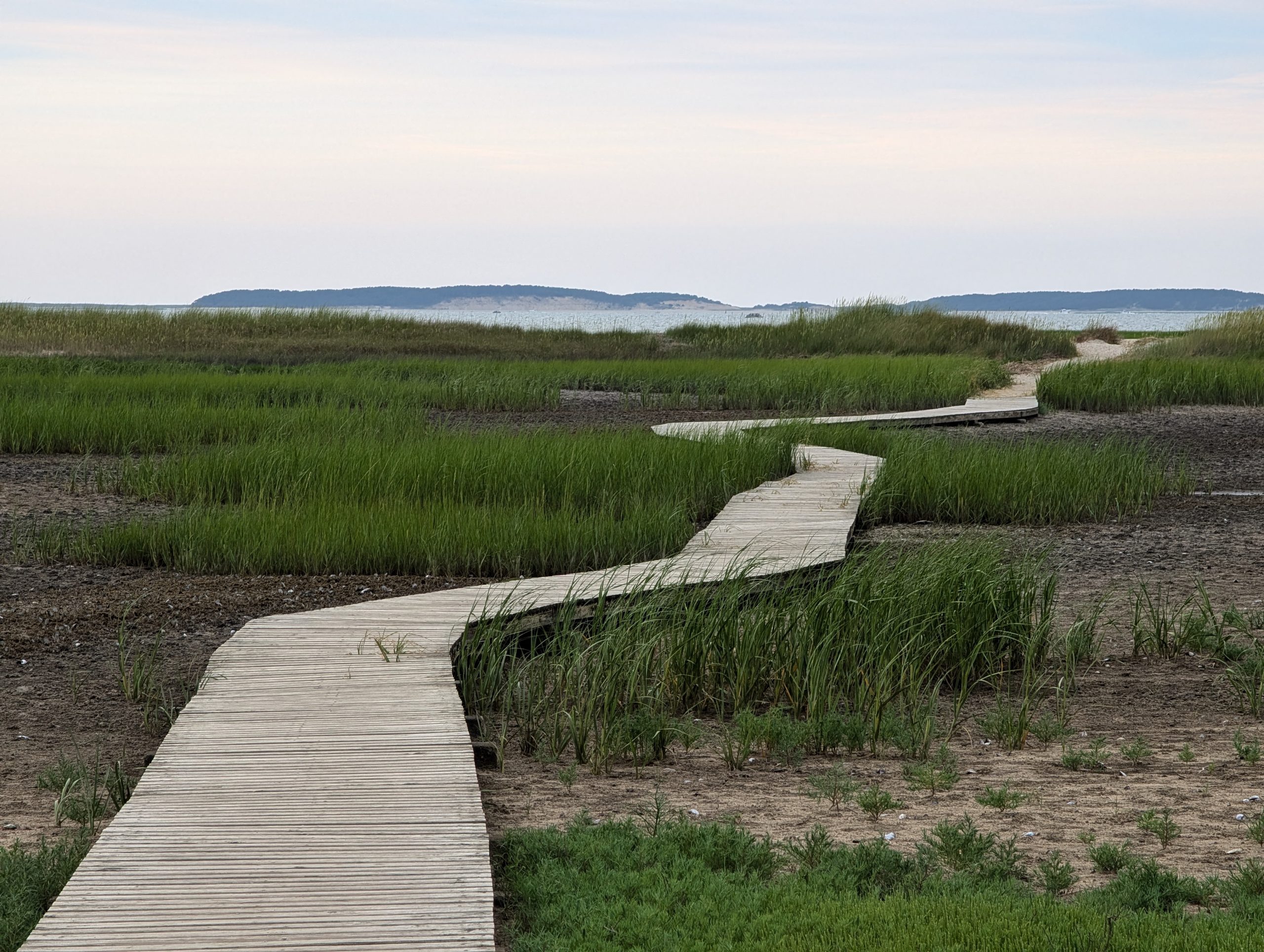
"Wellfleet, MA - Audubon Wildlife Refuge"
The Cape Cod Bay-facing coast, Lower Cape
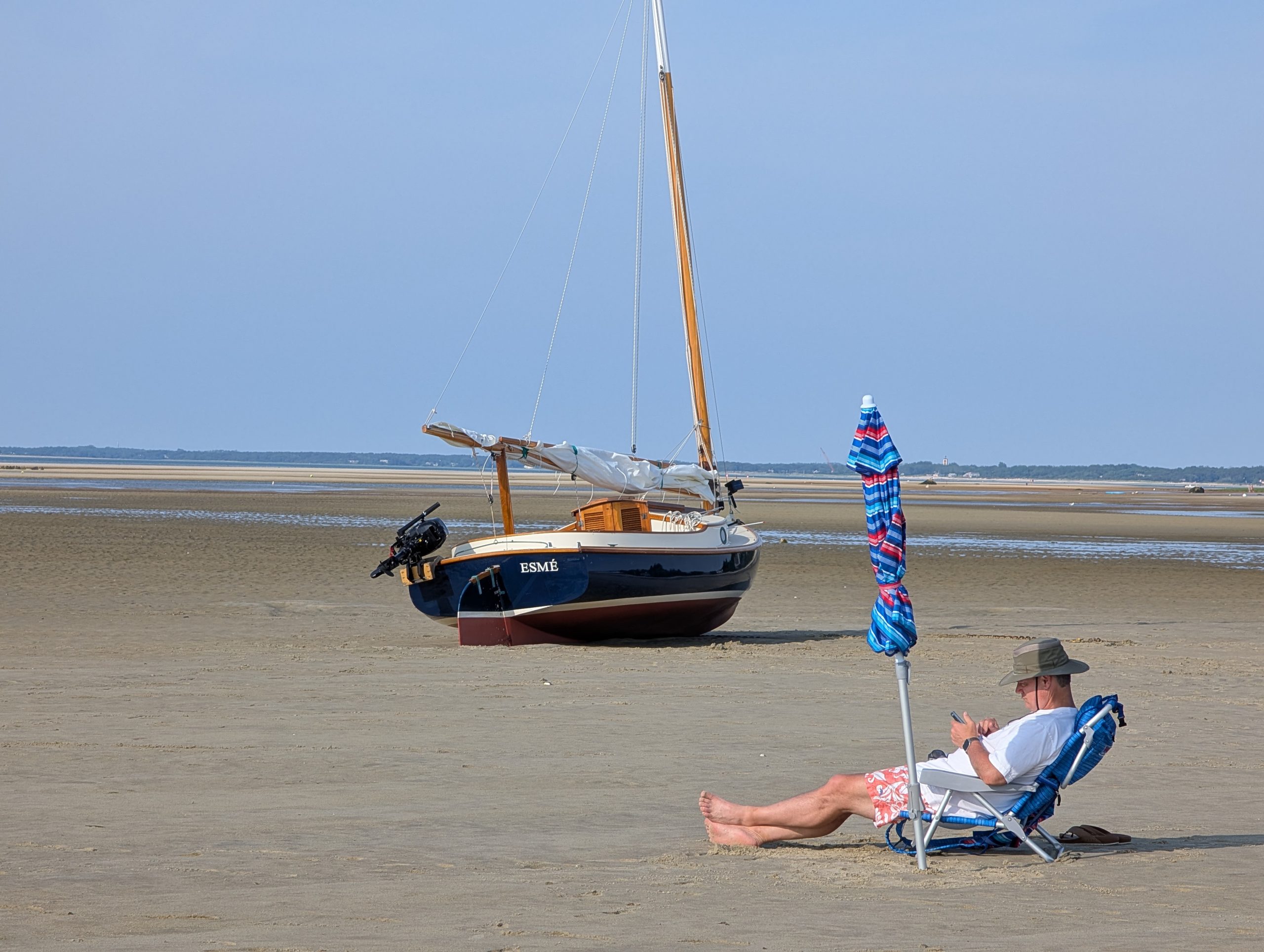
"Brewster Breakwater, Low Tide (1)"
"Brewster Breakwater, Low Tide (2)"
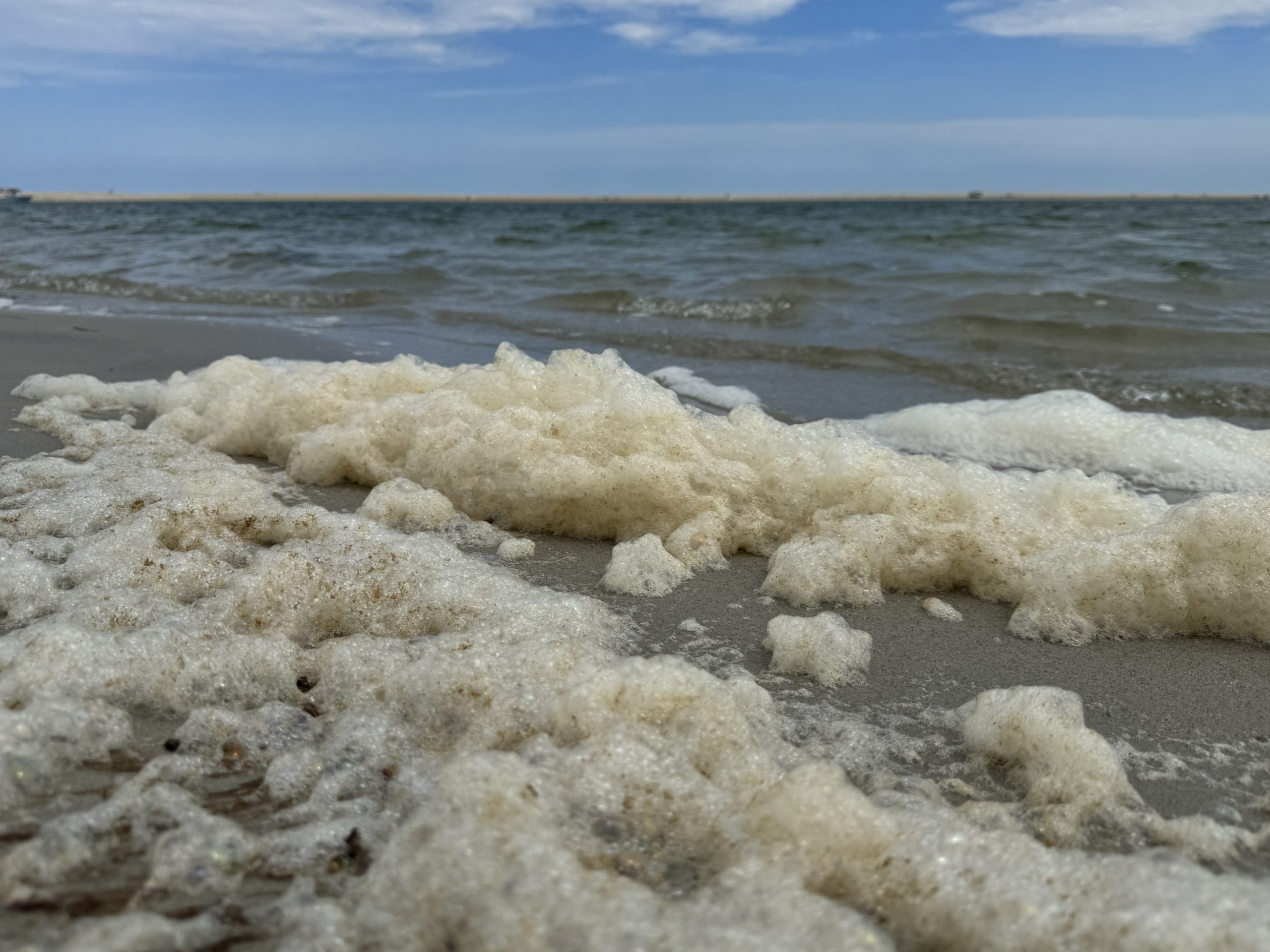
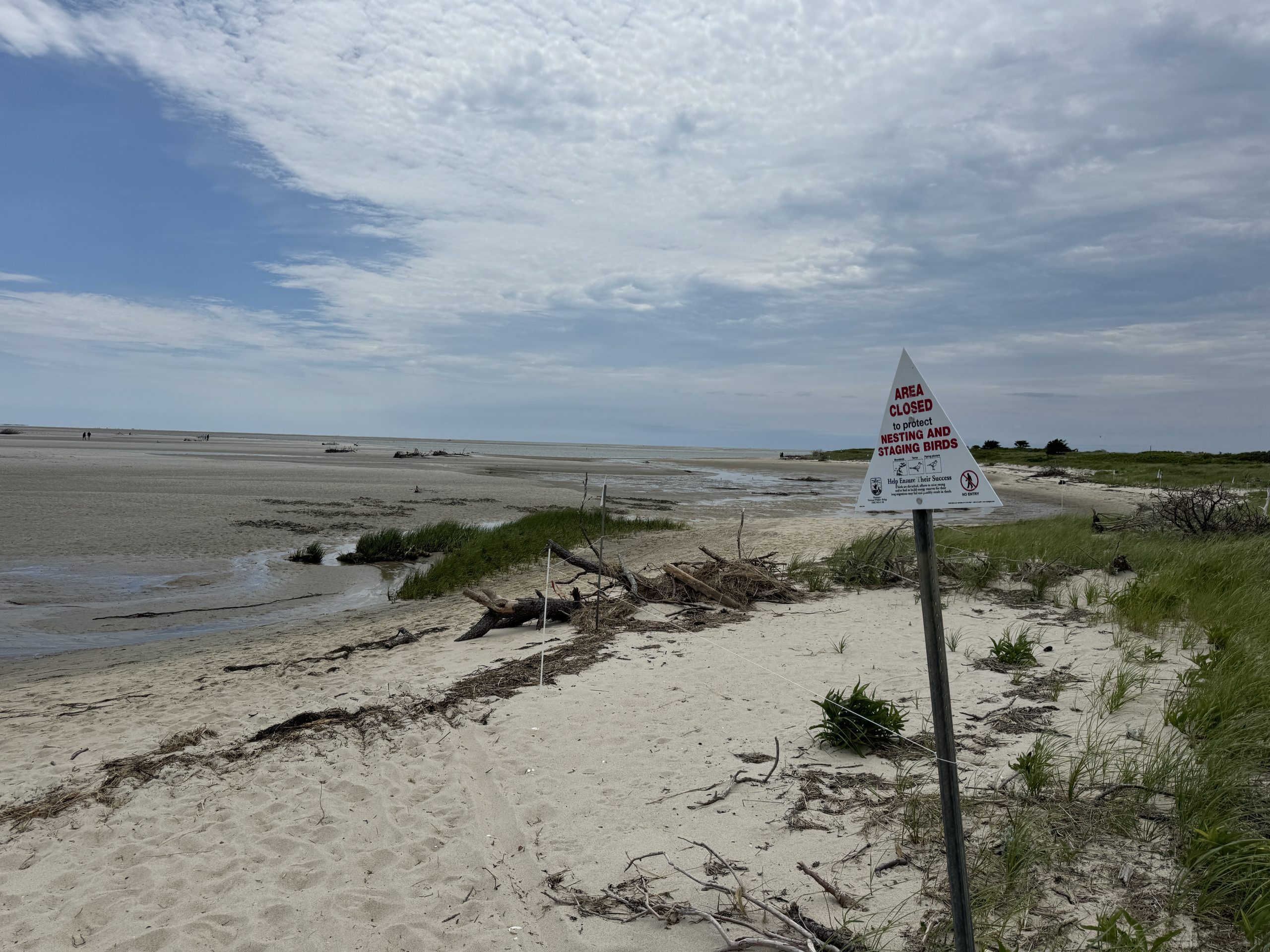
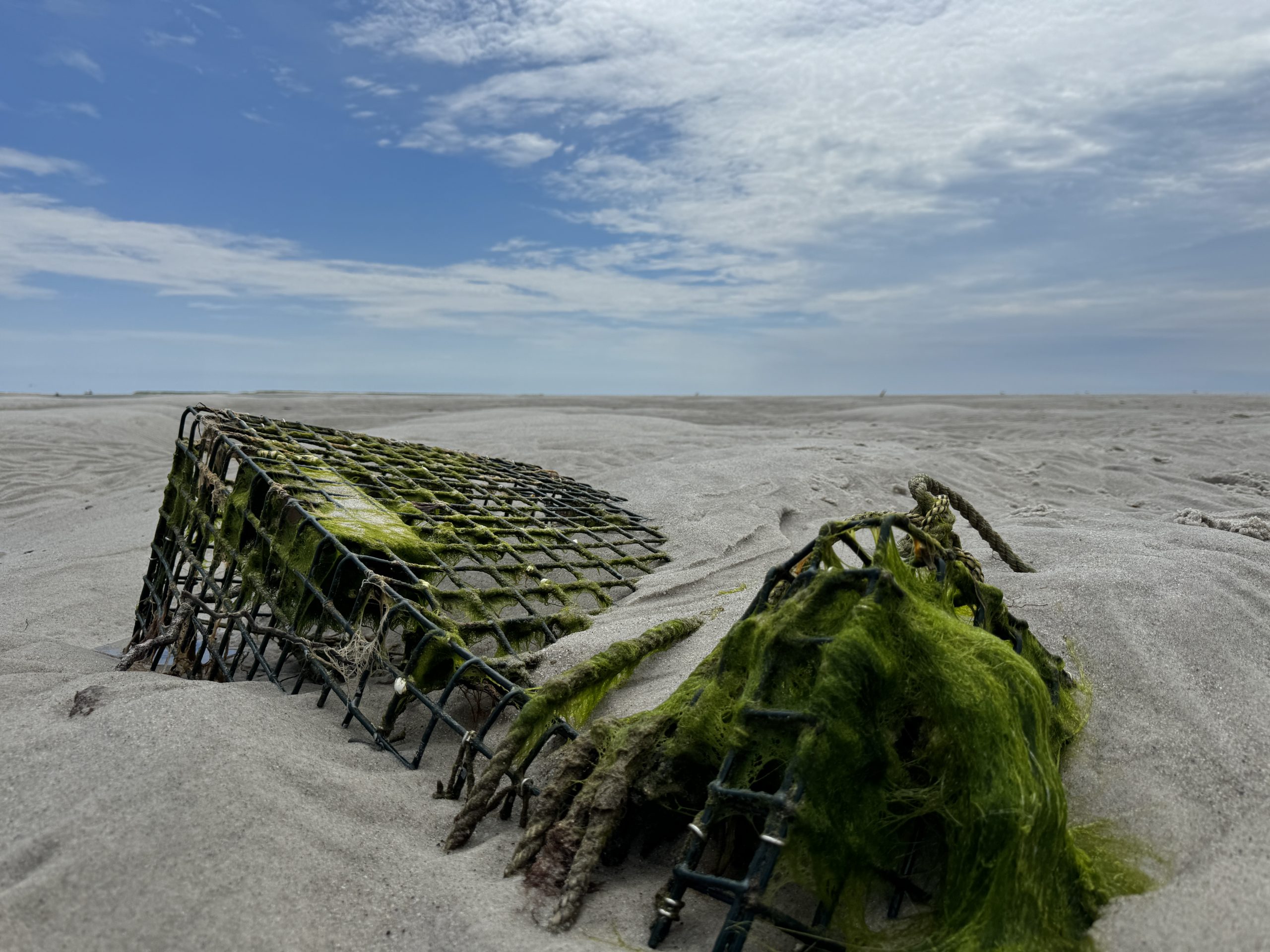
Monomoy Island National Wildlife Refuge, Lower Cape
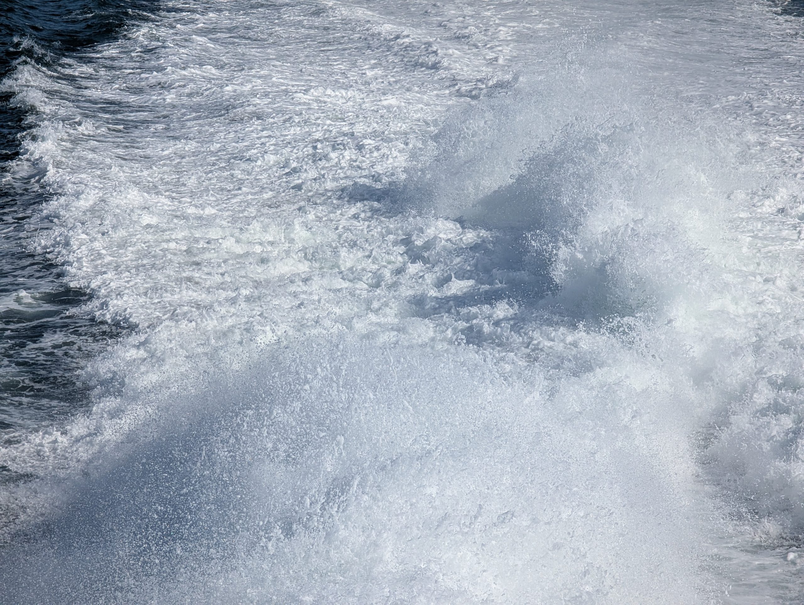
"Sea Foam"
"Area Closed"
"Low Tide"
The Cape Cod Bay-facing coast, Mid-Cape
"Grays Beach Yarmouth (1)"
"Grays Beach Yarmouth (2)"
"Chapin Beach Rd (1)"
"Chapin Beach Rd (2)"
Nantucket Sound-facing coast, Mid-Cape
The village of Hyannis in Barnstable, MA is the gateway to Nantucket Island. See more at
aragonable.com/nantucket
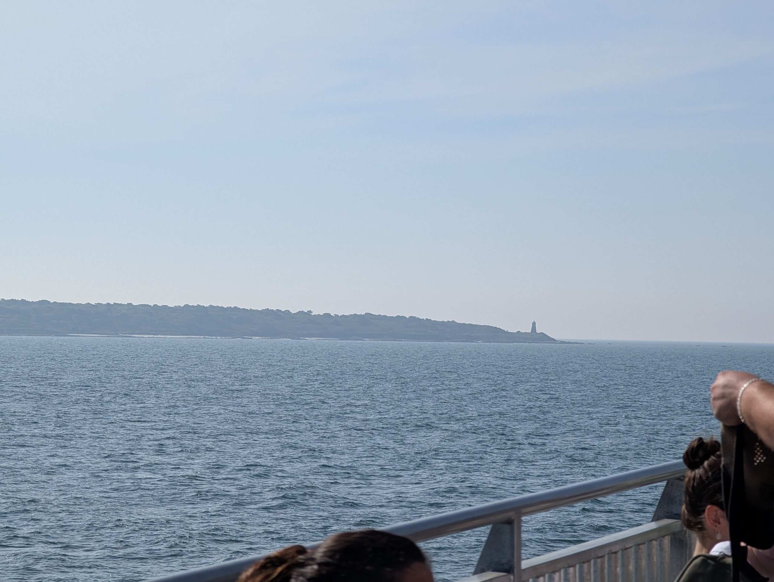
"Point Gammon Light"
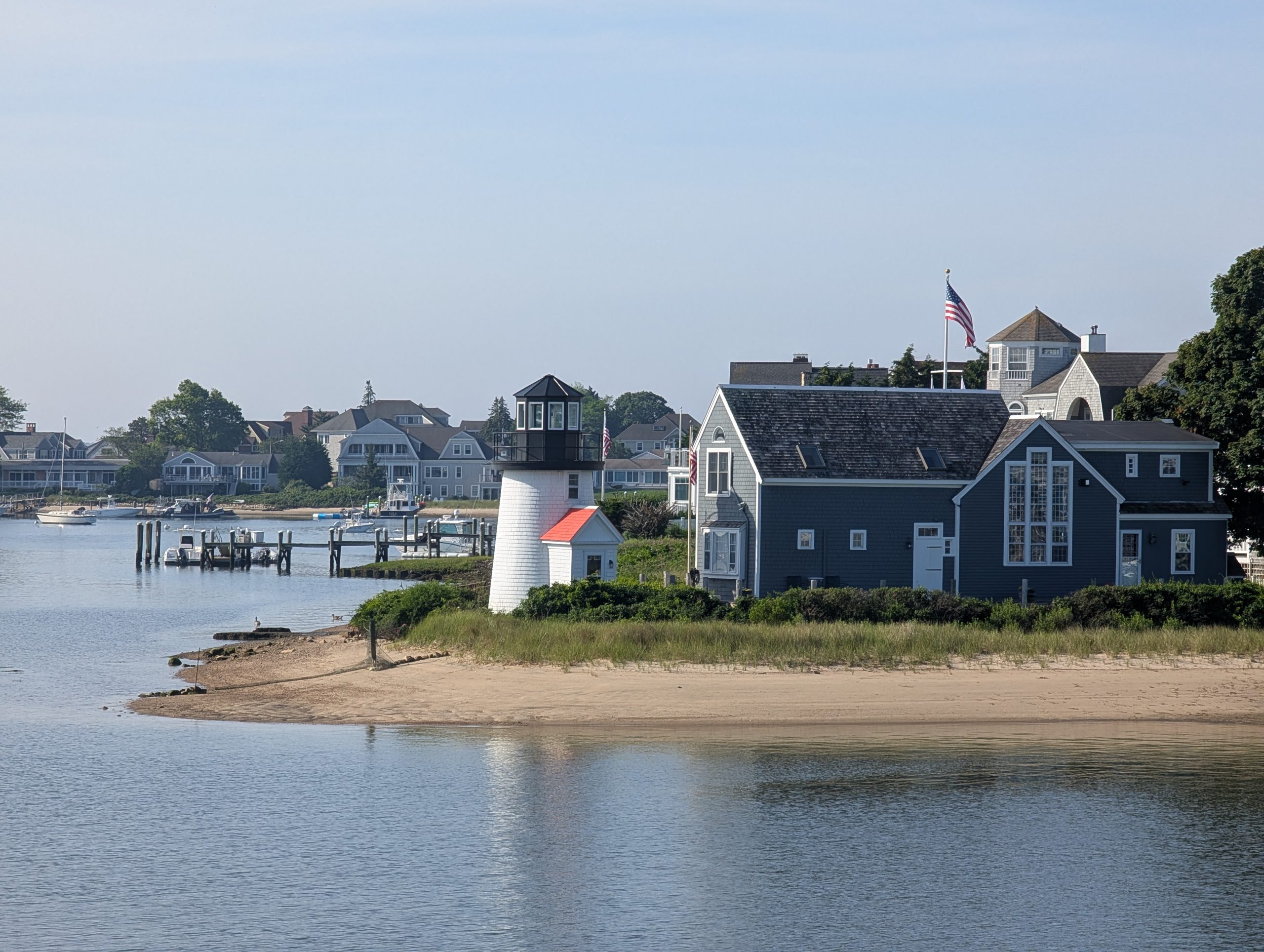
"Hyannis Harbor Lighthouse / Lewis Bay Lighthouse"
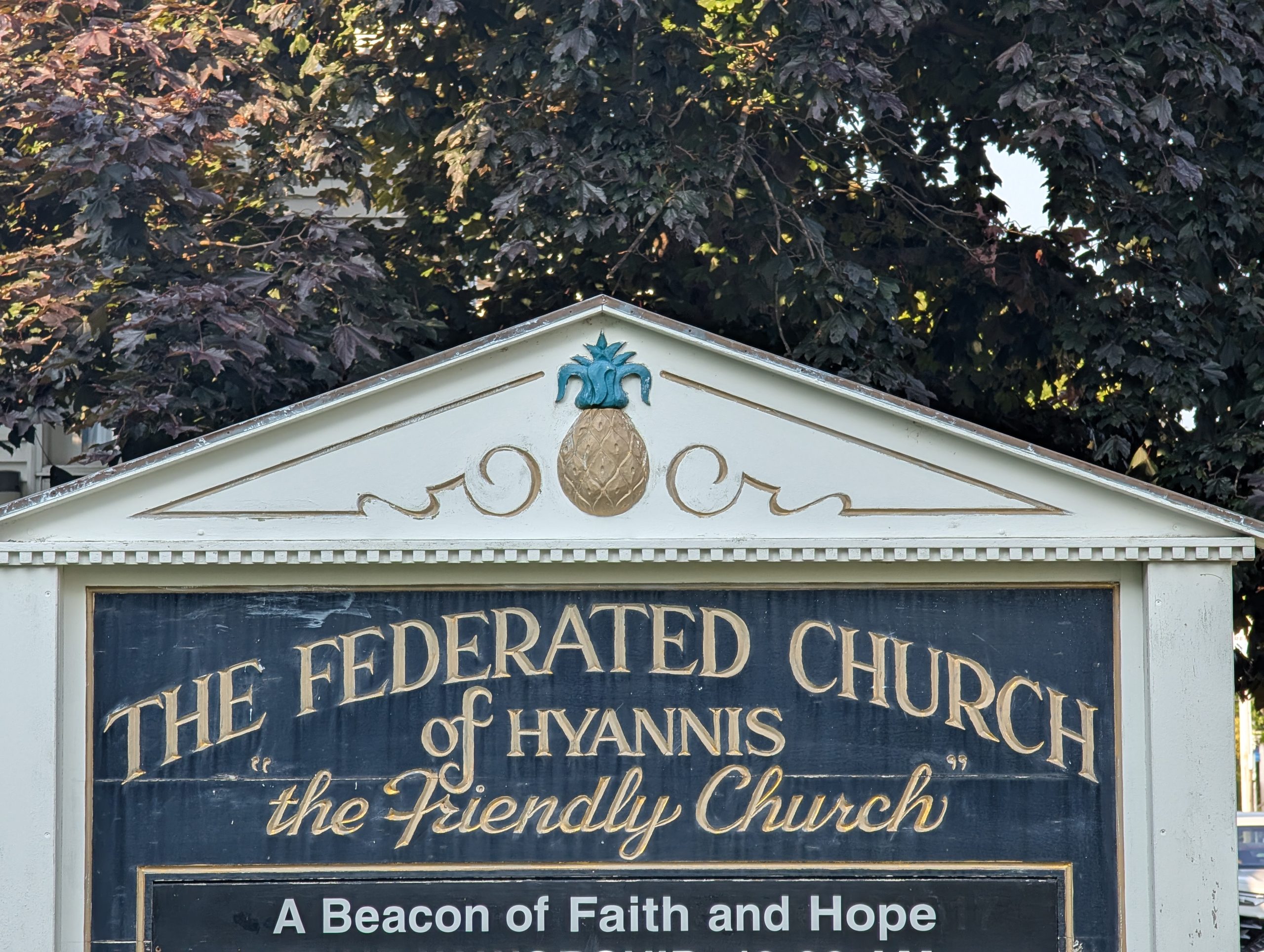
"The Federated Church of Hyannis"
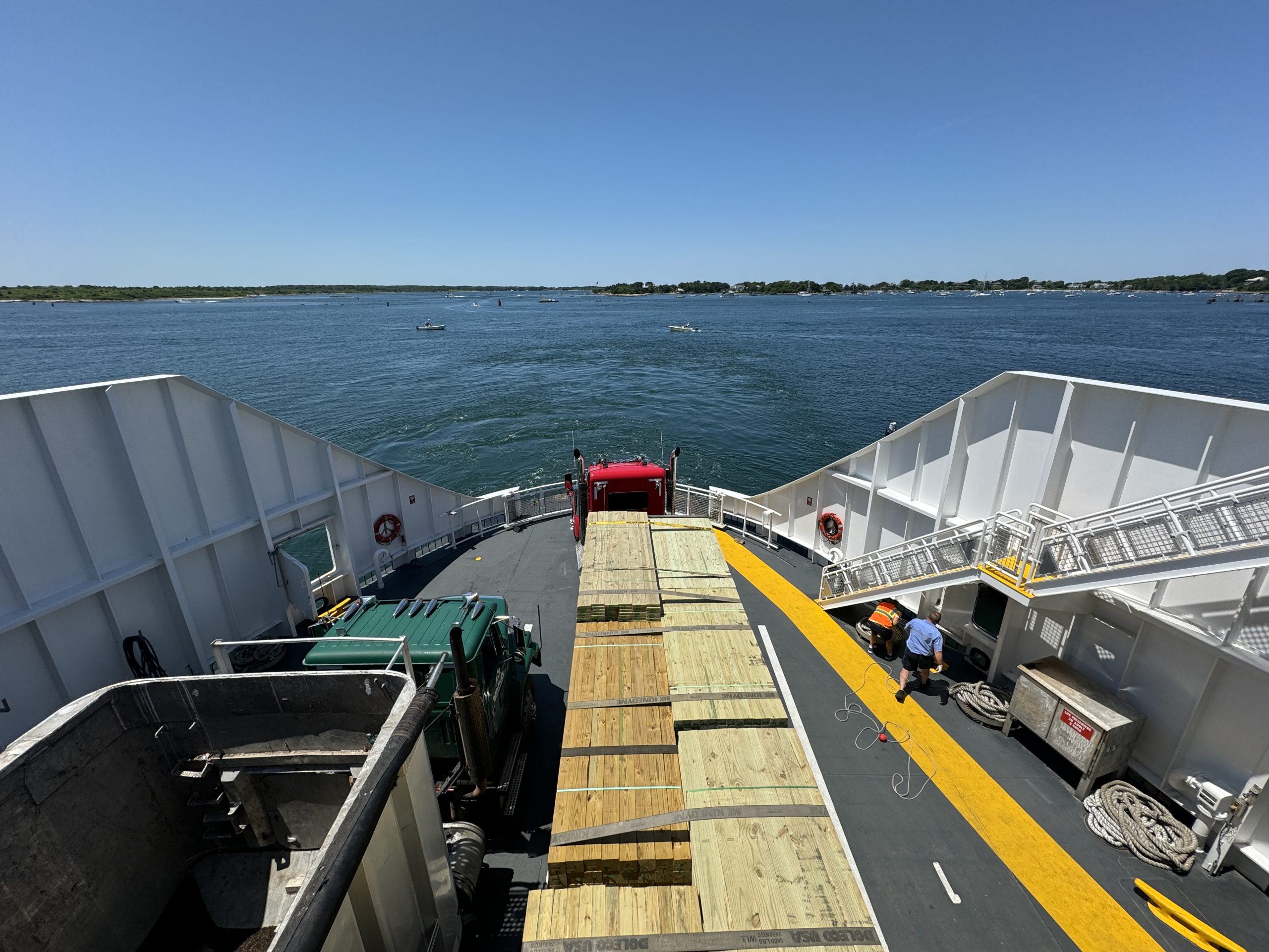
"Steamship Authority Ferry (Hyannis-Nantucket Route)"
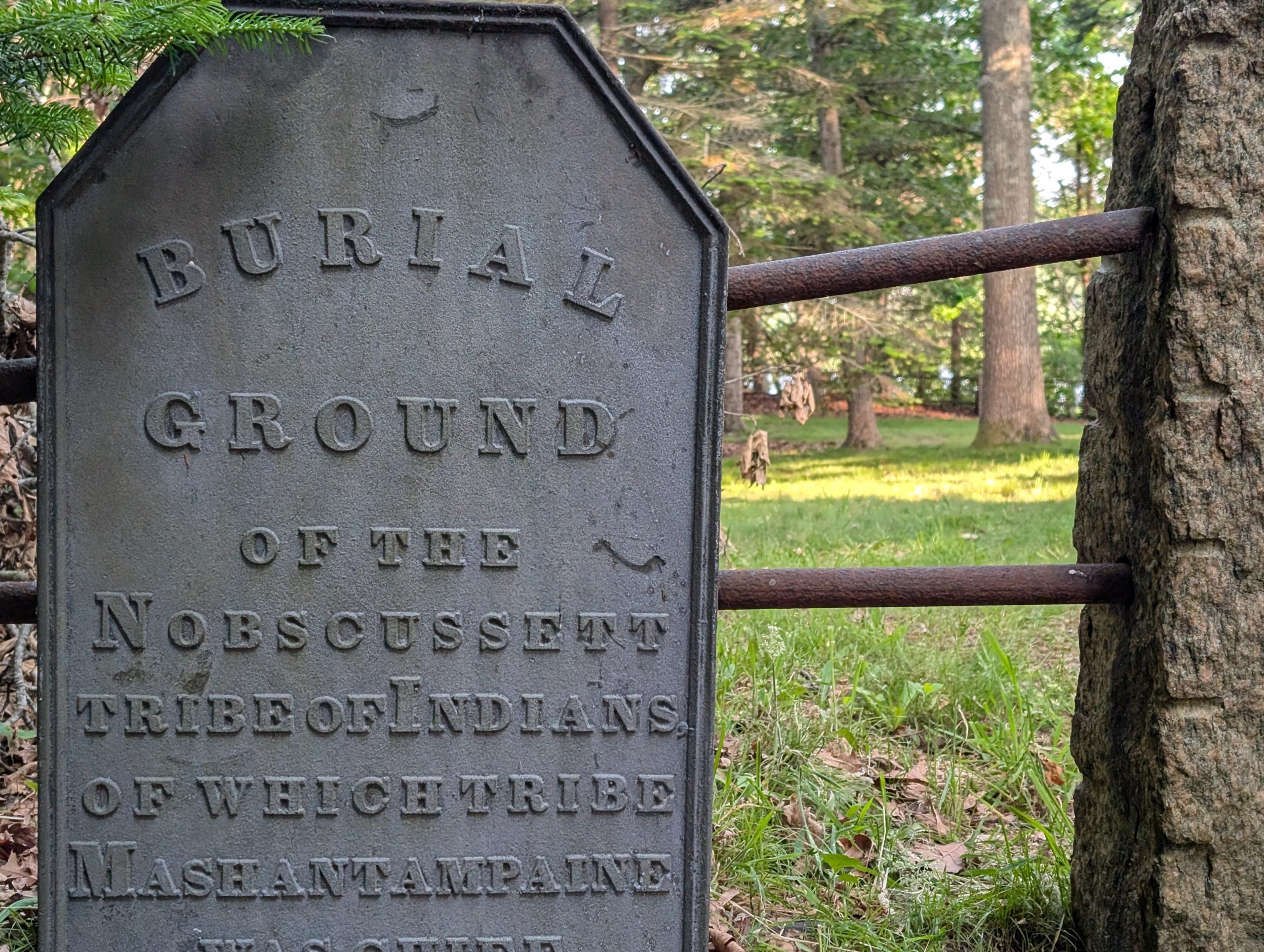
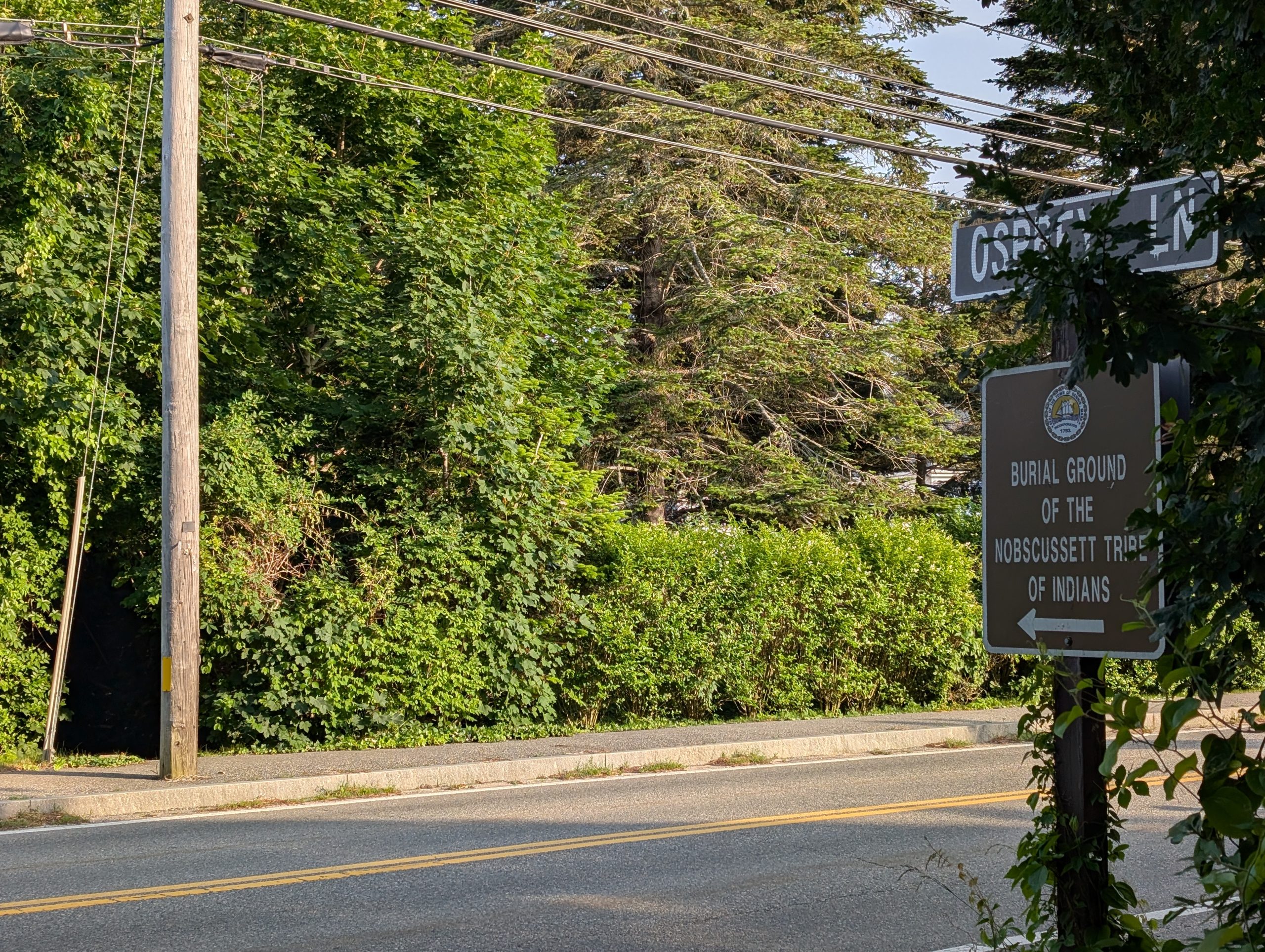
Historic Burial Ground of the Nobscussett Tribe of Indians, Mid-Cape
"Tribal Burial Ground Near Dennis, MA (1)"
"Tribal Burial Ground Near Dennis, MA (2)"
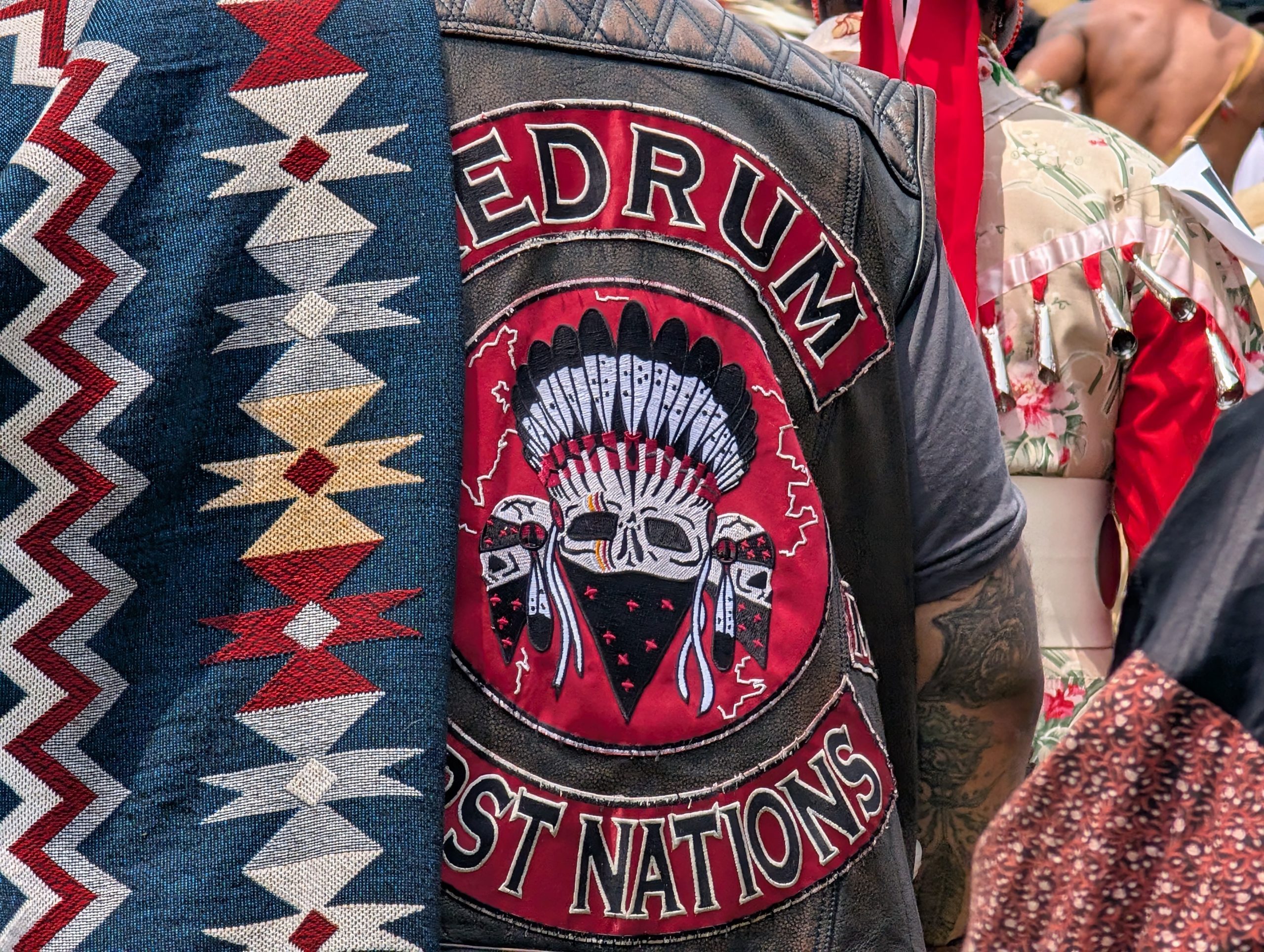
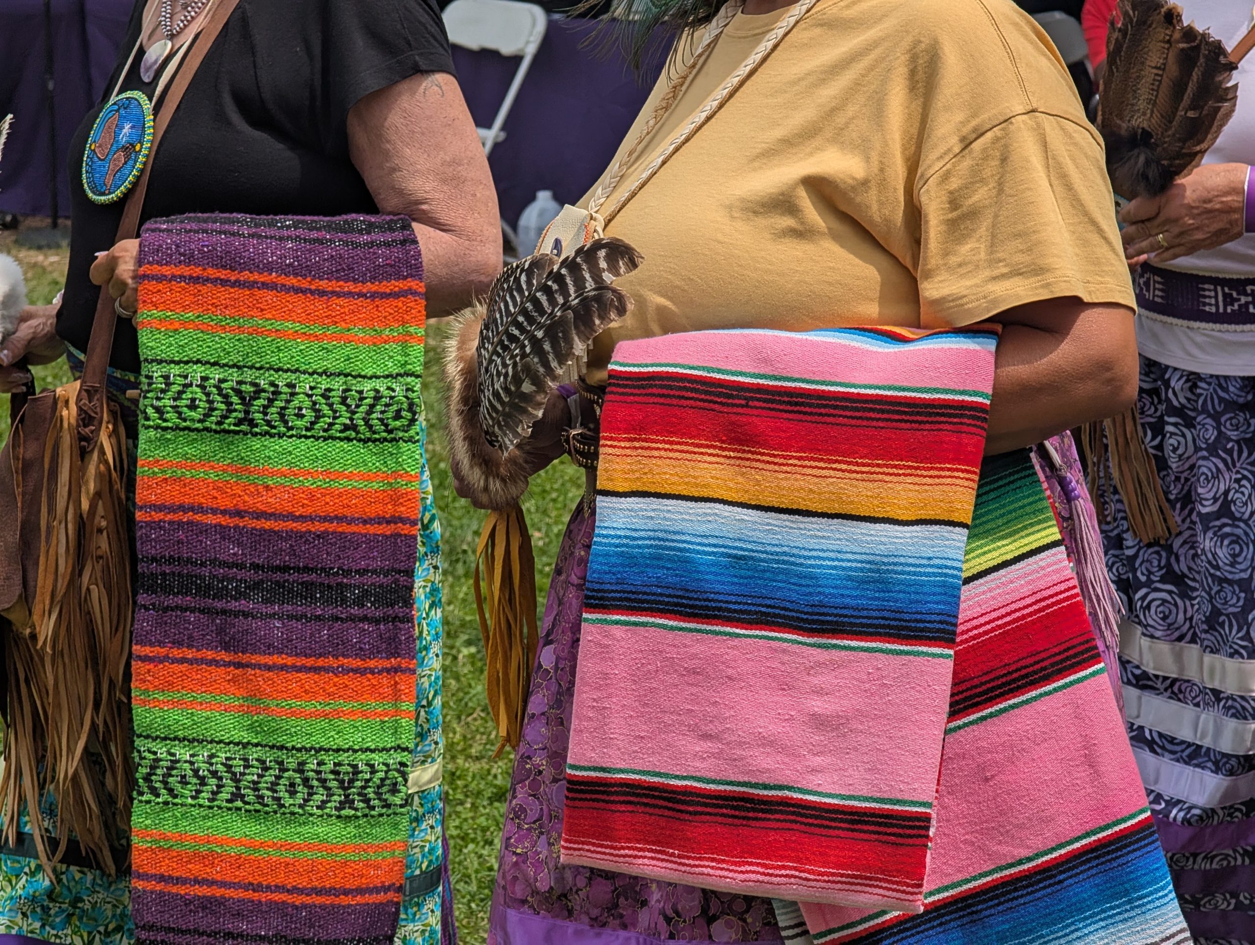
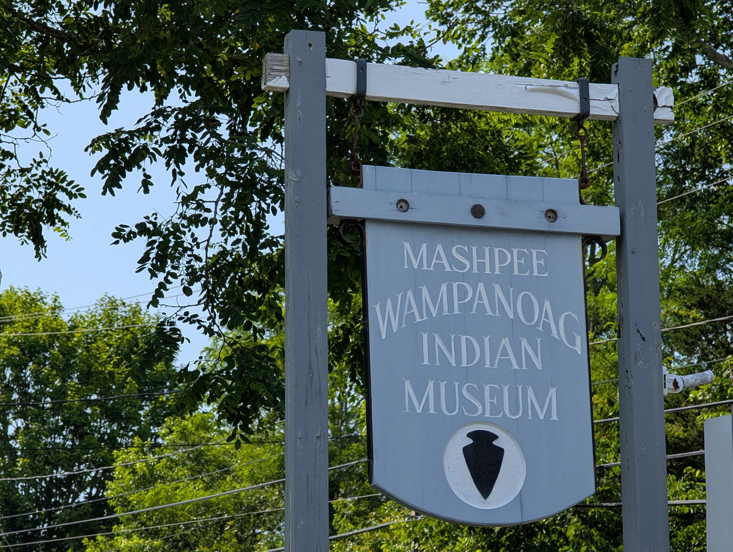
Mashpee Wampanoag Tribe, Upper Cape
"Wampanoag Powwow (1)"
"Wampanoag Powwow (2)"
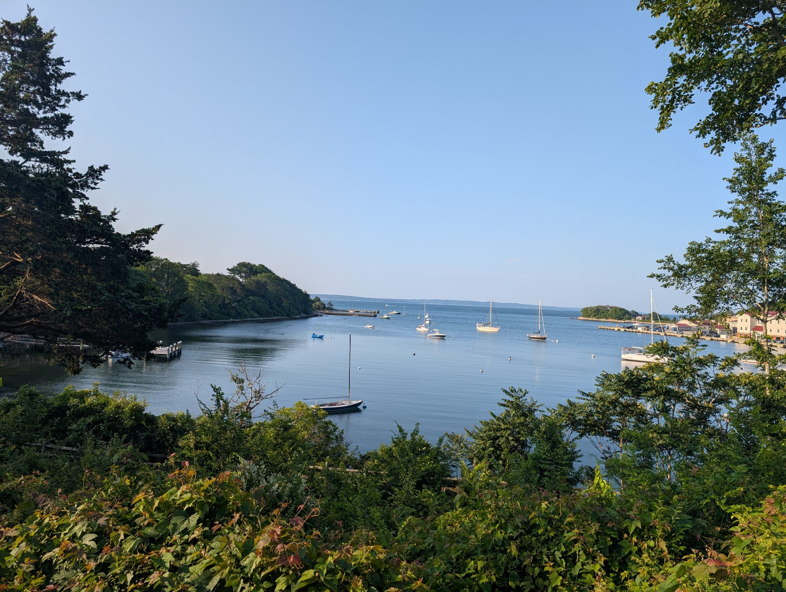
The Vineyard Sound-facing coast, Upper Cape
The village of Woods Hole in Falmouth, MA is the gateway to Martha's Vineyard Island. See more at
aragonable.com/marthasvineyard
"Steamship Authority Ferry (Falmouth-Vineyard Route)"
"Shining Sea Bikeway (View of Little Harbor/The Vineyard)"
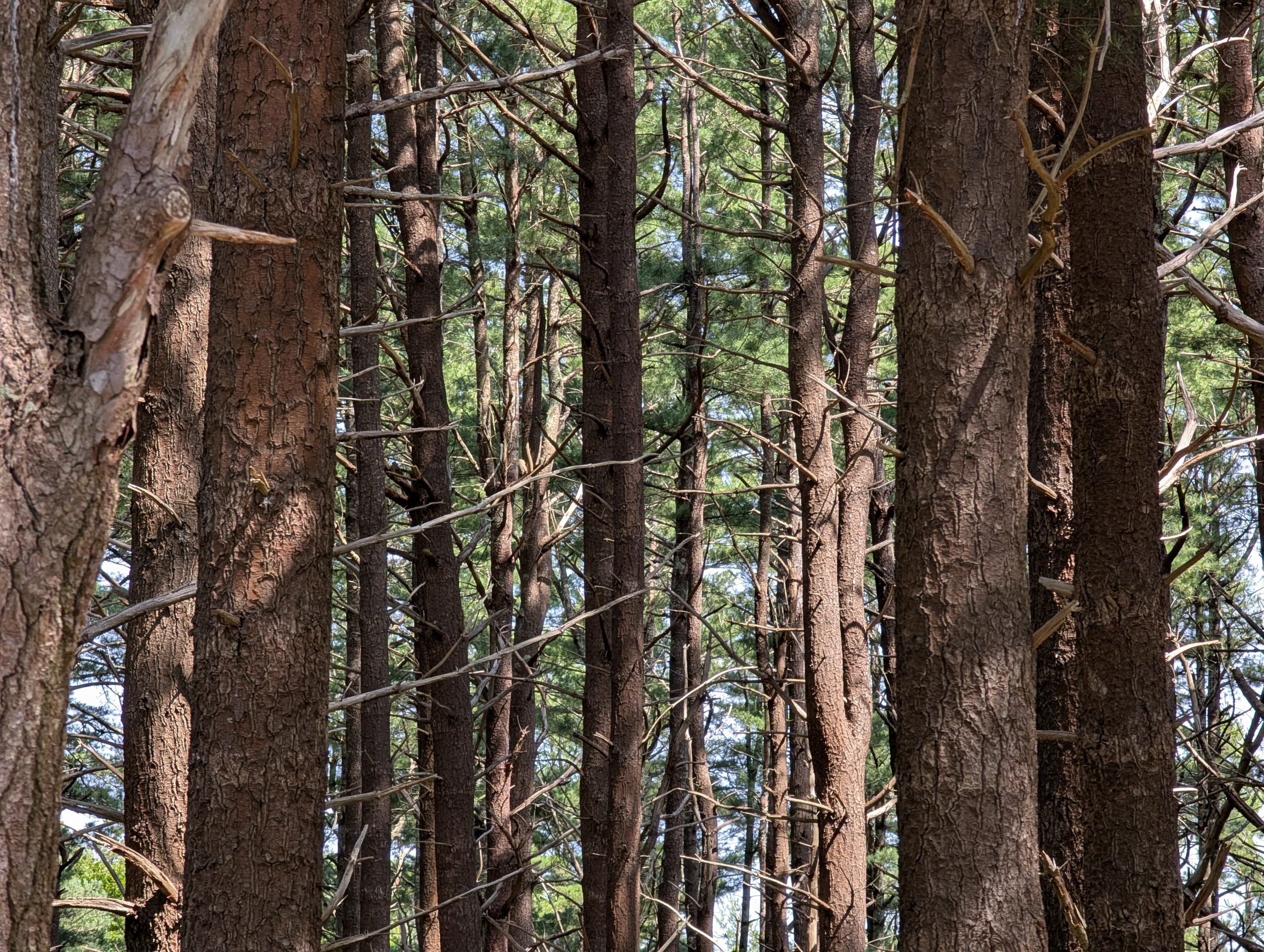
Forested lands of the Upper Cape
"Shawme-Crowell State Forest"
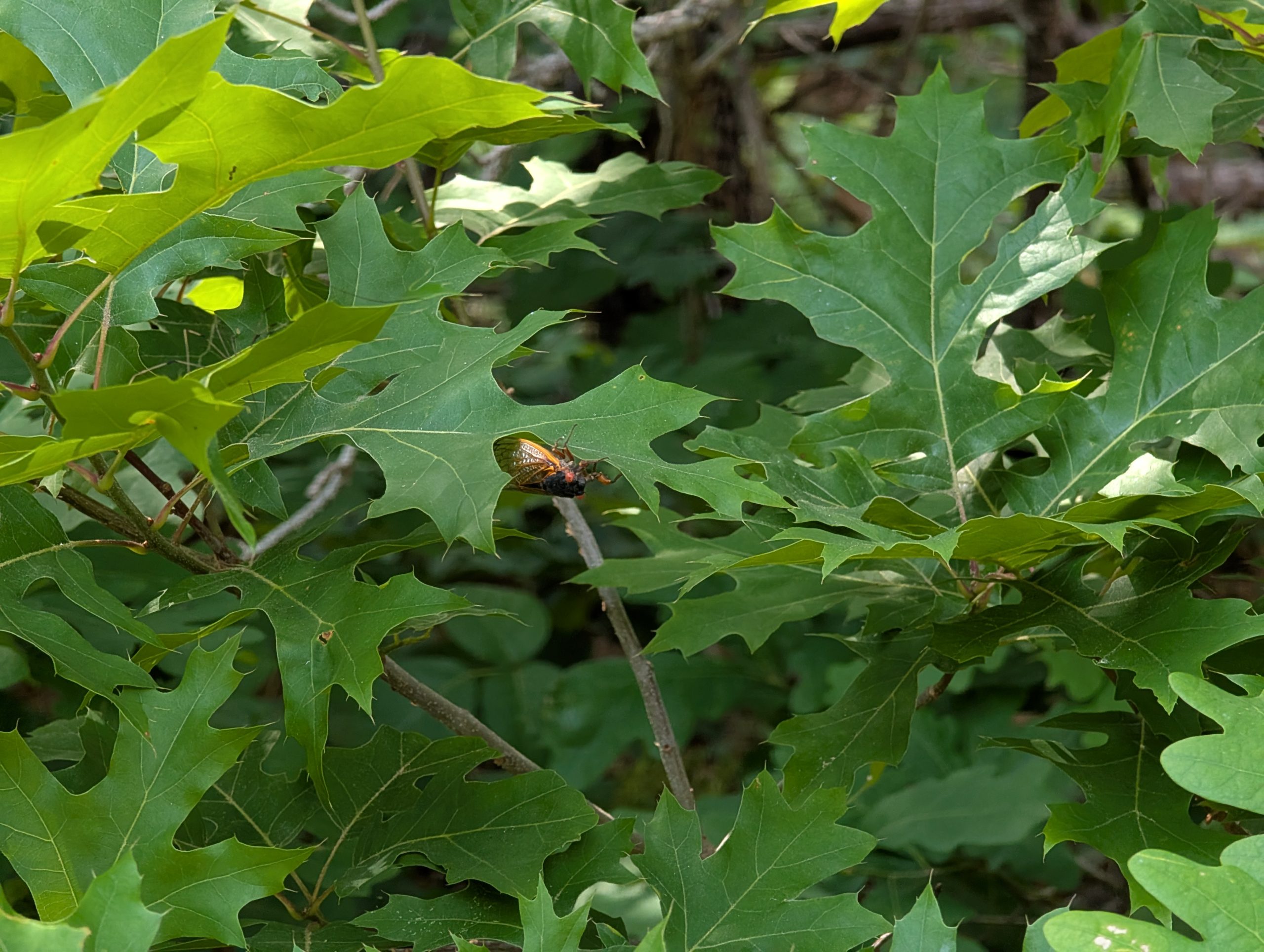
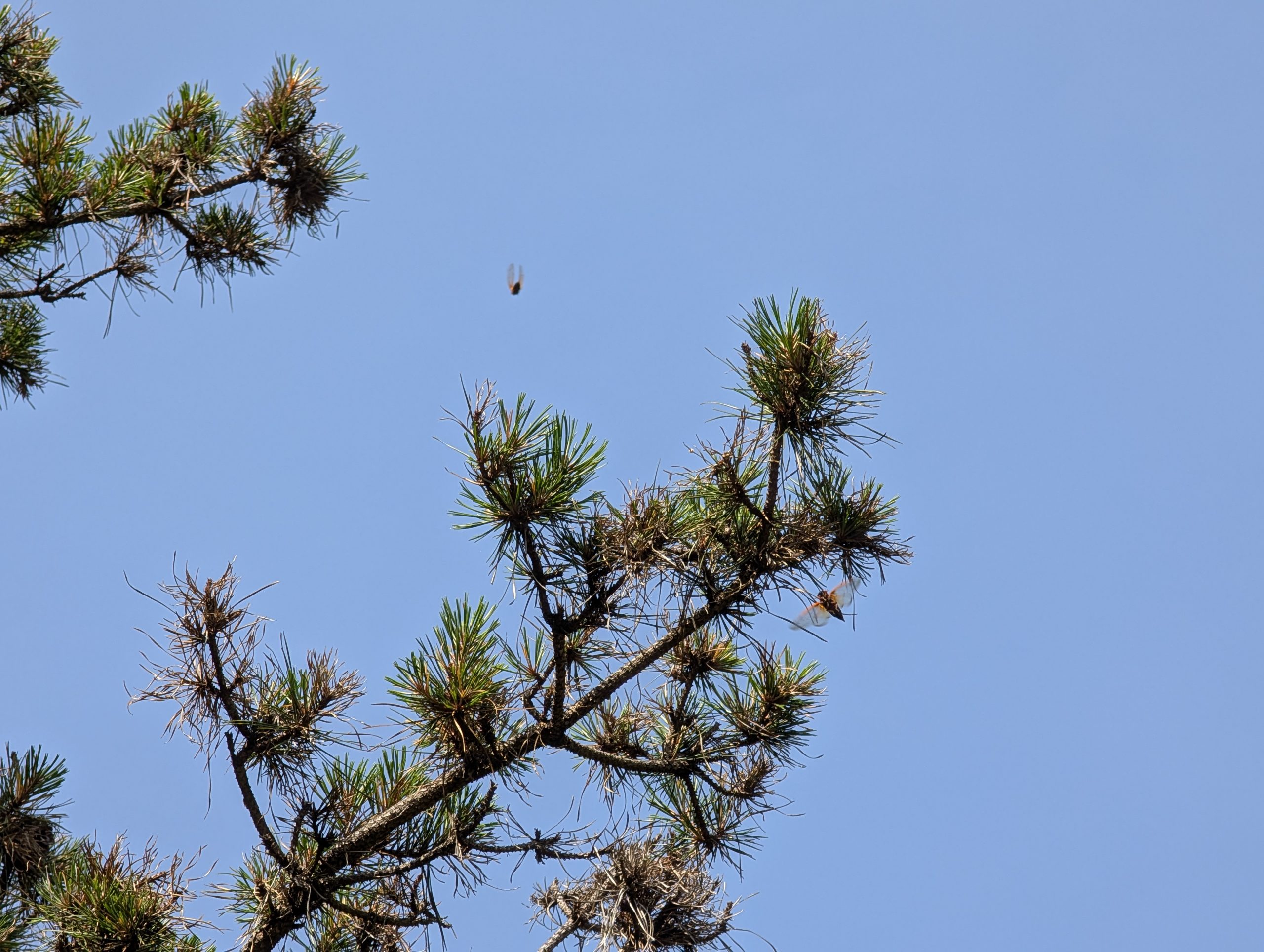
"Mashpee, MA Wildlife Management Area (1) - Cicada"
"Mashpee Wampanoag Indian Museum"
""Mashpee, MA Wildlife Management Area (2) - Cicada""
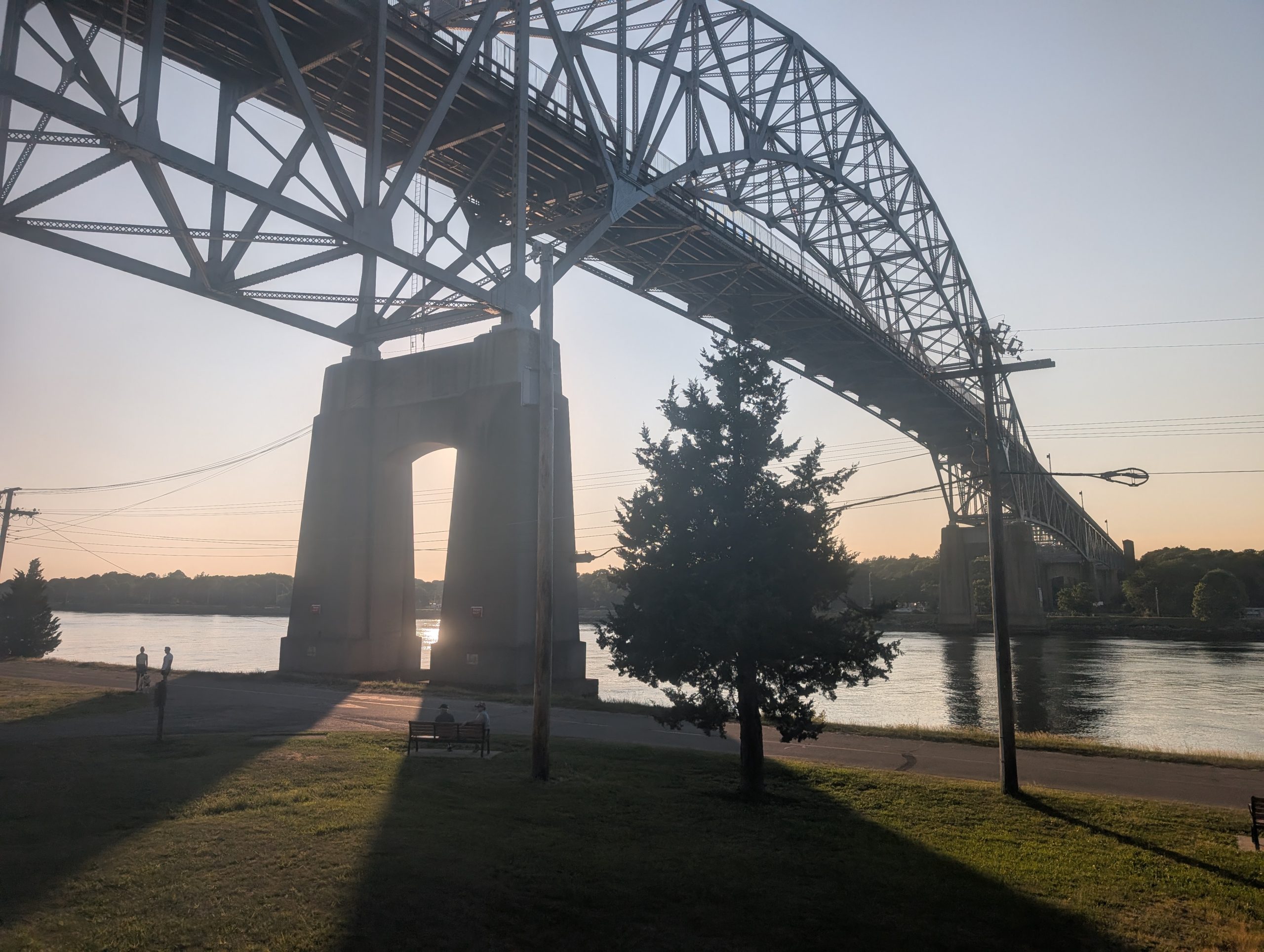
Border between the U.S. mainland and the Upper Cape
"Bourne Bridge - Cape Cod Canal"
The Cape Cod Bay-facing coast, Upper Cape
Small portions of Barnstable County/Cape Cod are technically on the U.S. mainland, just north of the Cape Cod Canal
"Sagamore Beach (1)"
"Sagamore Beach (2)"